
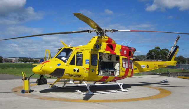
 The Australian Transport Safety Bureau is investigating an incident which happened at around a thousand feet as a Bell 412 Hunter Rescue helicopter retuned to its Newcastle base on Saturday night. Continue reading
Purpose-built UAS Test Centre Opens In Spain
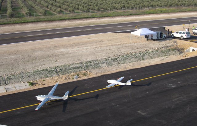 Europe’s first purpose-built center for UAS research activities has opened in Spain. Known as Atlas (air traffic laboratory for advanced unmanned systems), the facility was officially opened on March 21 by the president of Andalucía, Susana Díaz, whose regional government has funded much of the €4.5 million ($6 million) implementation of the project from European Union allocations. Additional funding has come from national government, and the site has been developed in close cooperation with potential customers, such as Boeing.
Elbit to Supply Hermes 900 to Brazil for 2014 FIFA World Cup
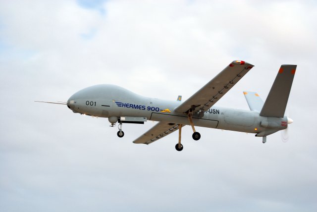 Elbit Systems Ltd. announced that it was awarded a contract by the Brazilian Air Force (“FAB”) for the supply of a Hermes 900 Unmanned Aircraft System (“UAS”). The Hermes 900, which will be equipped with a new and advanced intelligence gathering system considered as a breakthrough operational solution, will be operated by FAB in combined missions with the Hermes 450 fleet, already in operational use. Both UAS will carry safety and security missions in the 2014 FIFA World Cup Games.
Solar-Powered Silent Falcon UAS Moves to Production
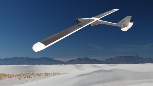 Silent Falcon UAS Technologies (SFUAS), a former subsidiary of Bye Aerospace, Inc., announced a transition to the production phase of its Silent Falcon unmanned aircraft system.
US Army Issues RFI for Anti-UAS Laser Weapon System
Concerned about the emerging threat of unmanned aircraft, the US Army is canvassing American defence contractors for information on systems that can detect, classify and destroy UAS of varying sizes.According to the request for information (RFI), the army’s Aviation and Missile Research, Development, and Engineering Center (AMRDEC) is open to both “kinetic and non-kinetic options” – the latter referring to lasers. Continue reading
China Anti-Smog UAS Produce 200 Prosecutions
 The pollution police are actively patrolling in China as UAS are taking off into the sky to spy on and expose smog-forming companies. Over 200 environmental violations have been cited so far just from the unmanned aerial vehicles (UAVs) soaring high over cities like Beijing to look for the root cause of smog and pinpoint ecosystem breaches being made.
Hermes 900 Becomes a “Star” in Israeli Air Force
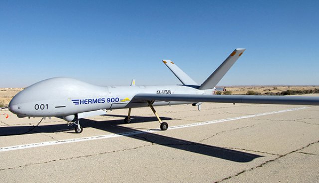 The “Hermes 900” UAS, manufactured by the Israeli company Elbit Systems,”received its official Hebrew name in the IAF: “Kochav” (star in Hebrew). The “Kochav” UAS strengthens the UAS arm of the IAF and designed for HALE (High Altitude Long Endurance) reconnaissance missions.
UAS in Antarctica Used to Validate Weather Forecasts
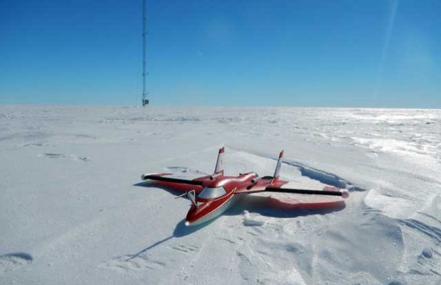 It sounds like an awesome wintertime trip: Snowmobile to the middle of nowhere, set up camp and fly radio-controlled airplanes for a couple of weeks. Now take that same scenario and move it to Antarctica in the austral summer. Throw in a 10-hour snowmobile ride across the hard, wind-carved snow surface.