
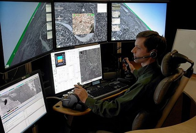
 Unmanned aerial vehicle (UAV) control experts at the Raytheon Co. Technical Services segment in Dulles, Va., will switch a major unmanned helicopter control system from Solaris to Linux software, and upgrade the system with universal UAV control qualities under terms of a $15.8 million contract.
Aerial Mapping with UAS
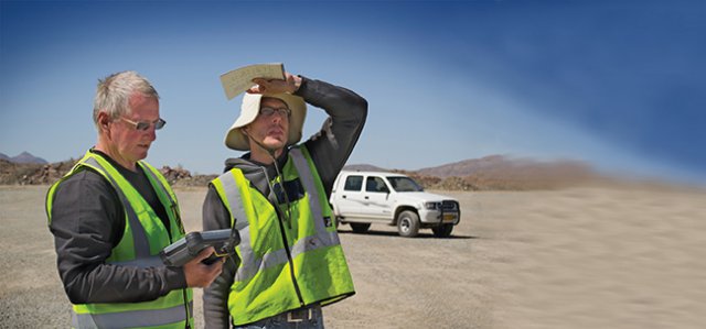 Surveying an open-pit mine can be a hazardous undertaking. To obtain accurate volume measurements, it is necessary to pick up edges, known in the industry as “toes and crests,” as well as heaps. These are important features, since they provide a way to verify the current shape of a mine; but in light of increasingly stringent safety regulations and penalties, some companies refuse to let the surveyor get too close to such areas. Surveying the site from the air is an effective solution to this challenge.
South Korean Military UAS Crashed into Mountain near Seoul
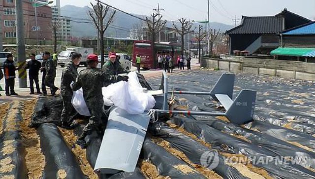 A South Korean military UAS crashed near Seoul on Thursday, but no one was hurt, an army official said. The RQ-101 crashed into a mountain in Yangju, just north of Seoul, at around 11:44 a.m. as it was returning to an army base after a routine training mission, the official said.
University of Sydney Student’s Prize-Winning UAS Autopilot
A University of Sydney robotics researcher has won the 2014 International Simulink Challenge for pioneering a new autopilot for unmanned aerial vehicles (UAVs). Daniel Wilson, a PhD candidate at the Australian Centre for Field Robotics (ACFR), developed the ‘SkyMaster’ autopilot system using MathWorks’ Simulink Software. Continue reading
University of Tasmania UAS Maps Vegetation
 The University of Tasmania’s Terra Luma project is using unmanned aircraft systems for environmental and agricultural remote sensing and aerial survey work.
JARUS Information and Dissemination Workshop
![]()
The Second JARUS Information and Dissemination Workshop will take place on May 20, 2014 and is kindly hosted by EUROCONTROL in Brussels. Continue reading
Carbon Landing Gear Leg Cushions UAV Landing
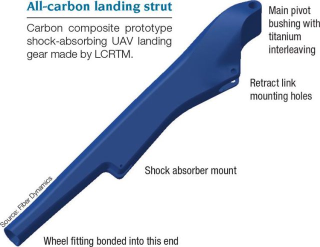
Using its Lost Core Resin Transfer Molding (LCRTM) system, Wichita, Kan.-based Fiber Dynamics Inc. manufactured the main landing gear strut for the Predator B MQ-9 Reaper. Continue reading
UAS to Detect Fruit Tree Diseases in Flanders
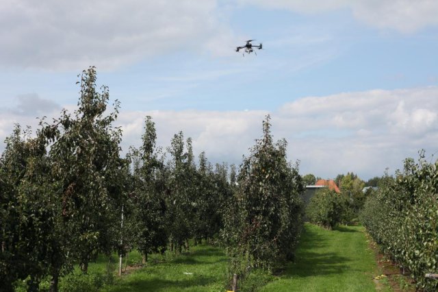
Tree diseases can wreak havoc in fruit orchards, and the disease known as fire blight is notorious in Flanders. To detect this disease more quickly, the Fruit Test Centre in Sint-Truiden and the Flemish Institute for Technological Research (Vito) are working on a new detection system. Continue reading