
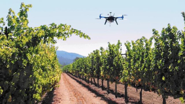
 SimActive Inc., a developer of photogrammetry software, has announced that Noveltis, a French company, has been using its Correlator3D software for precision viticulture. Based on multispectral drone imagery, mapping products are generated to determine vine health and detect missing plants. Continue reading
Delair-Tech Sets A New UAS BVLOS Distance Record

On June 8 at 11:00 a.m., RTE and Delair-Tech set a new distance record when they flew a civilian drone 30 miles (50 kilometers). The official purpose of the flight, which took place in France, was to inspect by remote camera RTE’s power lines as well as recording data that would allow it to build models of its European power grid.
Drone Race Across Pacific Challenge
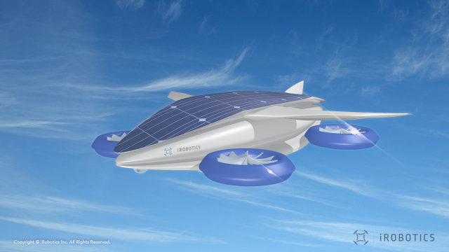 A Japanese drone start-up is throwing out a challenge to all comers for a drone race from Tokyo to San Francisco. Even if drones taking part will need AI, flight-control software, sensors and batteries that hardly exist today.
US Aircraft Downs Pro-Syrian UAV
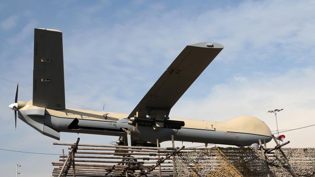
A U.S. aircraft shot down an armed pro-Syria regime unmanned aerial vehicle today after it fired on coalition forces in southern Syria, Combined Joint Task Force Operation Inherent Resolve officials said in a statement. Continue reading
Flyox I May Move to Pendleton UAS Range
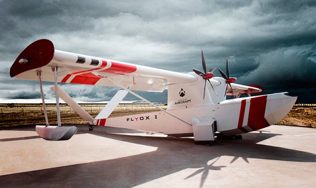 The manager of Pendleton’s Unmanned Aerial Systems Range said he expects to hear next week if the Flyox I, a massive Spanish-made drone designed to assist with firefighting, will run test flights at the Eastern Oregon Regional Airport. Continue reading
Philippines Revealed as ScanEagle Operator
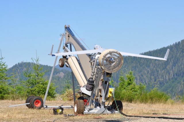
A US Navy solicitation has shown the Philippines to be a hitherto-unknown operator of the Insitu ScanEagle unmanned aircraft system (UAS). Continue reading
Project Wing’s UTM System Tested
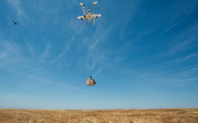 On June 6, Project Wing took part in a set of nationwide tests convened by NASA and the FAA to explore how to manage the growing number of unmanned aircraft systems (UAS) in the sky. Continue reading
UAS-Based Change Detection of Glacial Transition Zone
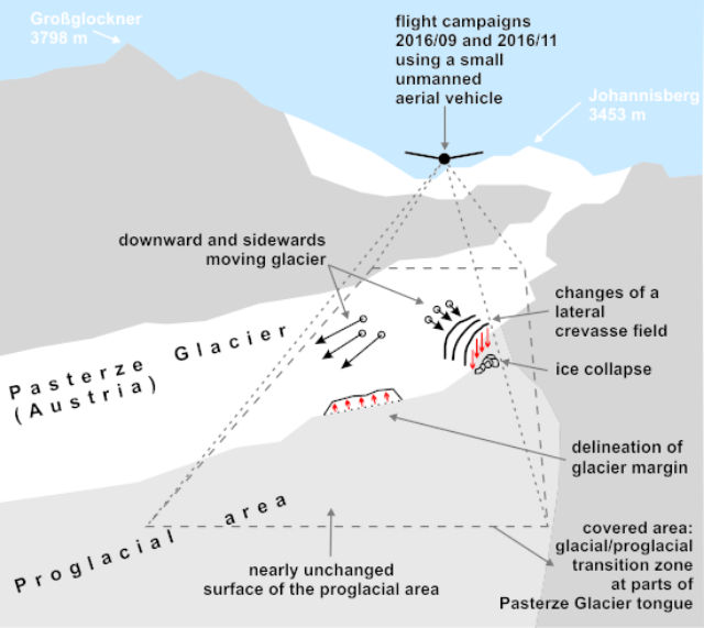
Glacier-related applications of unmanned aircraft systems (UAS) in high mountain regions with steep topography are relatively rare. This study makes a contribution to the lack of UAS applications in studying alpine glaciers in the European Alps. Continue reading