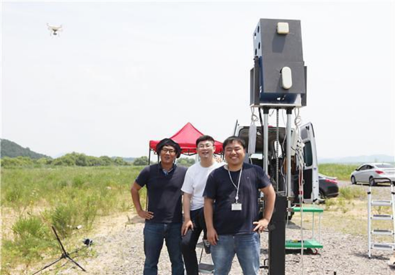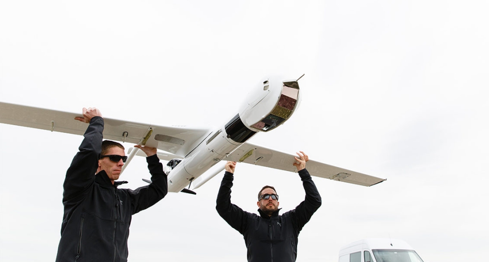
South Korean researchers have developed a detection system capable of identifying small drones more than three kilometers away that can be used to monitor and stop spy drones or unmanned operations targeting high-risk facilities such as nuclear power plants. Continue reading
Category Archives: Research
Fraunhofer Measures Drone Collision Impact
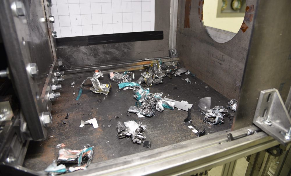
The rapid rise in the number of drones worldwide has been accompanied by increasing reports of near misses with commercial aircraft. Bird-strike tests for aircraft are mandatory. To date, however, there is no equivalent standard test procedure for collisions with drones. Continue reading
X-56A Flight by NASA Armstrong Flight Research Center
The X-56A remotely piloted research aircraft is suppressing flutter, which is a potentially destructive oscillation, at NASA’s Armstrong Flight Research Center in California. The video of the aircraft takes the viewer on a journey through preparation, takeoff, mission flight, the control room and landing. Continue reading
Energy-Efficient Data Routing in Cooperative UAV Swarms
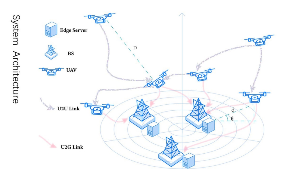
A new energy-efficient data routing algorithm developed by an international team could keep unmanned aerial vehicle swarms flying—and helping—longer, according to a report just published by an international team of researchers. Continue reading
Mapping Oyster Reefs Using UAS
Twenty-one oyster reefs near Edgewater, Florida., are the focus of a new partnership between Embry-Riddle Aeronautical University and the University of Central Florida (UCF) to develop methodologies for remotely mapping regions that would otherwise be difficult, and expensive, to monitor on site. Continue reading
PULP Dronet – Nano-UAV Inspired by Insects
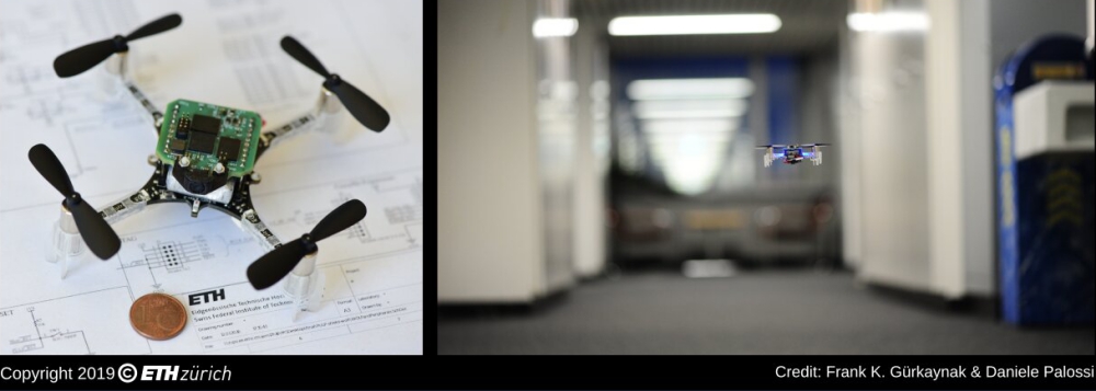
Researchers at ETH Zürich and the University of Bologna have recently created PULP Dronet, a 27-gram nano-size unmanned aerial vehicle (UAV) with a deep learning-based visual navigation engine. Their mini-drone, presented in a paper pre-published on arXiv, can run aboard an end-to-end, closed-loop visual pipeline for autonomous navigation powered by a state-of-the-art deep learning algorithm. Continue reading
Drone-Based Stream Gauging Tested at ‘2019 Aquatic Airshow’
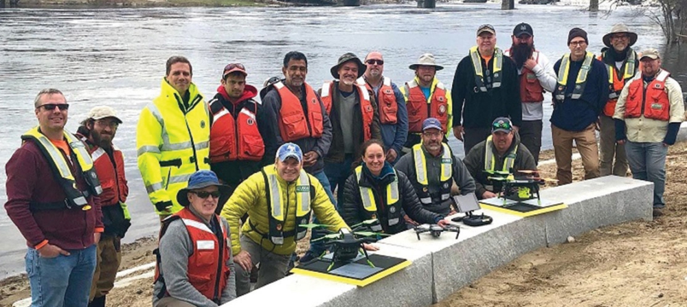
U.S. Geological Survey (USGS) and independent scientists gathered this month in Auburn, Maine, to evaluate the use of sensor-mounted unmanned aircraft systems (UAS), or drones, to gauge stream stage, velocity, bathymetry and discharge. The technology is being evaluated and modeled to determine whether it will support the fast, accurate and safe measurement of rivers, especially when they are flooded or contain floating trees, ice or other debris. Continue reading