
Drones seen buzzing above a French prison months ago may have been on a reconnaissance mission ahead of the helicopter escape of a notorious French criminal — his second breakout in five years. Continue reading

UAS VISION
an independent online news service for the Unmanned Aircraft Systems world
Drones seen buzzing above a French prison months ago may have been on a reconnaissance mission ahead of the helicopter escape of a notorious French criminal — his second breakout in five years. Continue reading
Amazon last week earned a patent for a proprietary method of detecting and recovering drones from hostile takeovers by “nefarious individuals.” Continue reading
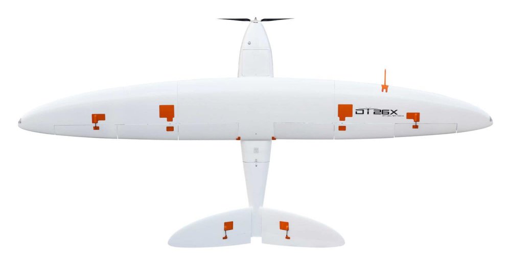
Delair, a supplier of drone solutions for commercial industries, was selected among hundreds of candidates as one of the World Economic Forum’s “technology pioneers”. Continue reading
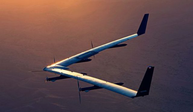
Facebook has announced on its blog that it was no longer pursuing the completion of its solar-powered drone, Aquila, a high altitude platform station (HAPS) system. Continue reading
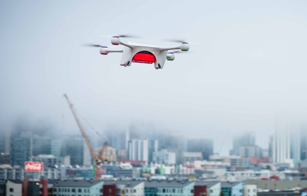
Boeing has announced its investment in Matternet, a Menlo Park, Calif.-based startup pioneering safe, on-demand unmanned aerial vehicle (UAV) delivery operations in urban environments. Matternet’s advanced logistics platform – combined with Boeing’s expertise in complex logistics, integration and manufacturing capabilities – will further enable reliable, efficient cargo air transportation. Continue reading
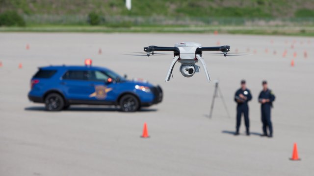
CNC Technologies, an aviation technology and wireless communications company serving the law enforcement, military and government markets, announced its selection by the Michigan State Police to deploy a state-of-the-art mobile video network to support the department’s airborne law enforcement operations. Continue reading
As drones become increasingly autonomous, researchers and engineers are finding new ways to let unmanned aerial vehicles manage menial tasks that are usually relegated to crews of workers and valuable time being lost in the process. For researchers at the University of Leeds and University College London, the focus is on slowly but surely kickstarting drone-infused smart-cities with UAVs that could repair roads efficiently, saving time, cost, and the efforts of manual labour. Continue reading
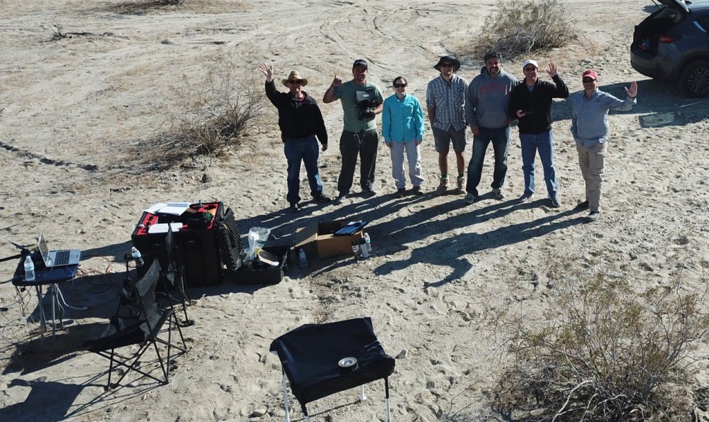
Scientific study of the evolution of the southern end of the San Andreas Fault is of vital importance given the earthquake-prone nature of southern California. Mapping fault zones and land surface changes that resulted from previous earthquakes can deepen the understanding of hazards posed by the fault, including the possibility of future temblors. Continue reading