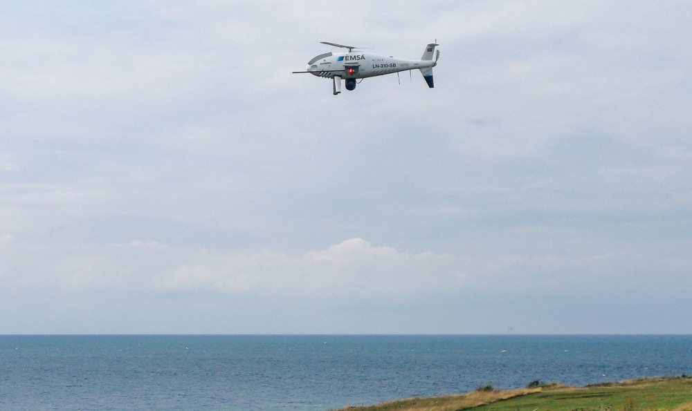
Schiebel, together with partner Nordic Unmanned, is supporting the Danish Maritime Authority (DMA) and the Danish Environmental Protection Agency (DEPA) by using the CAMCOPTER S-100 to monitor ship emissions in Danish waters. Continue reading

UAS VISION
an independent online news service for the Unmanned Aircraft Systems world
Schiebel, together with partner Nordic Unmanned, is supporting the Danish Maritime Authority (DMA) and the Danish Environmental Protection Agency (DEPA) by using the CAMCOPTER S-100 to monitor ship emissions in Danish waters. Continue reading

AiRXOS, a provider of Unmanned Traffic Management (UTM) solutions, has announced a comprehensive Unmanned Aircraft Systems (UAS) solution for Energy organizations to plan, schedule, operate and monitor all facets of their UAS operations from a single platform. Continue reading
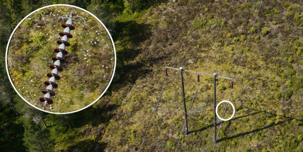
Skyqraft, a data-driven infrastructure inspection company from Sweden, was granted BVLOS operation permission for the Vertical Technologies DeltaQuad VTOL UAV, to inspect a large portion of the Swedish power grid. Continue reading
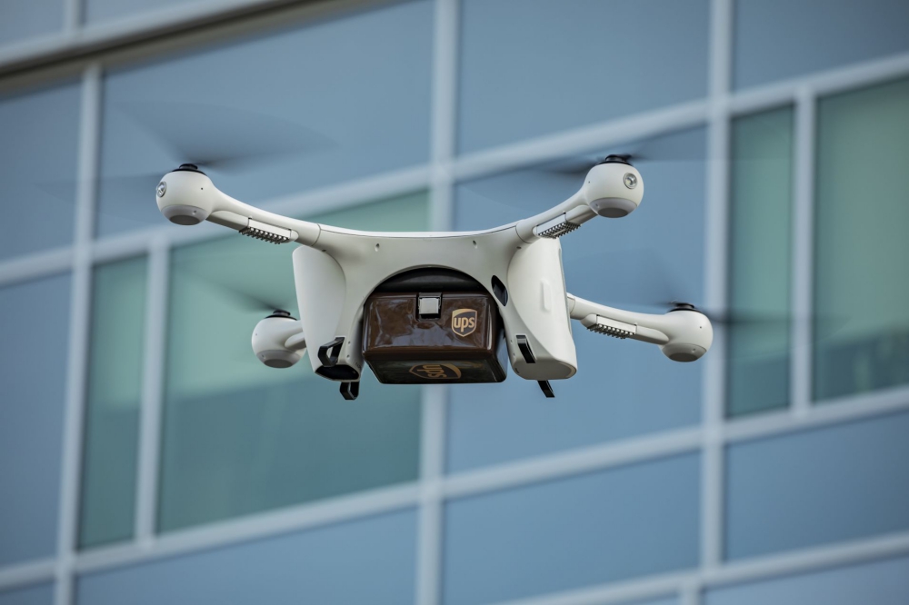
Matternet, a developer of an urban drone logistics platform, has announced that its M2 drone system is enabling a new hospital delivery network at Wake Forest Baptist Health in North Carolina. Continue reading
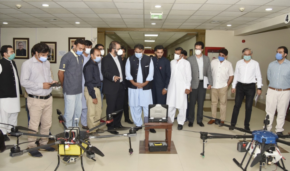
Pakistan’s Ministry of Science and Technology and Abn Satuma (Pvt) Ltd have signed a MoU for development of UAVs/drones for agriculture applications. The drones will specifically be used for countering locust attacks. Continue reading
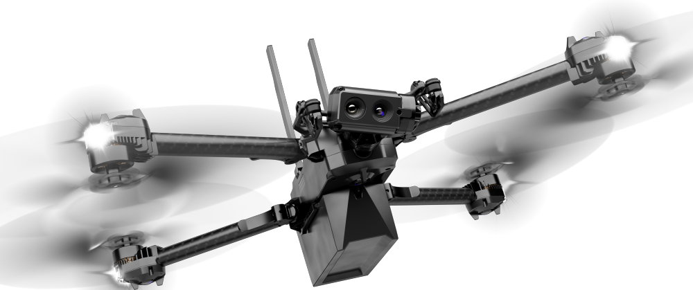
Skydio, a U.S. drone manufacturer and supplier of autonomous flight technology, has announced the upcoming availability of a new autonomous drone platform for enterprise and public sector, the Skydio X2. Continue reading
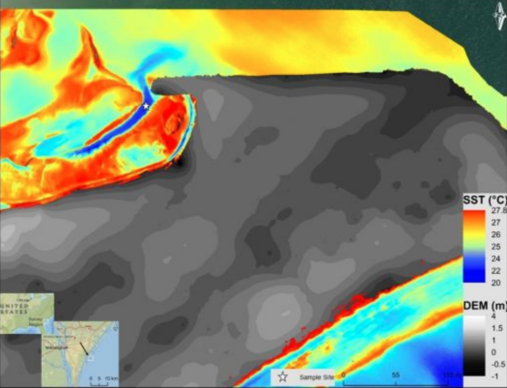
Nadir view of Masonboro Island UAS-TIR survey region overlaid on UAS-derived DEM
Submarine groundwater discharge (SGD) is a significant part of the water cycle that delivers anthropogenically derived and naturally occurring nutrients to coastal waters. As part of the drive to develop methods to prevent the degradation of coastal water quality, research conducted at the University of North Carolina Wilmington attempts to address the ambiguity associated with SGD point source locations. Continue reading
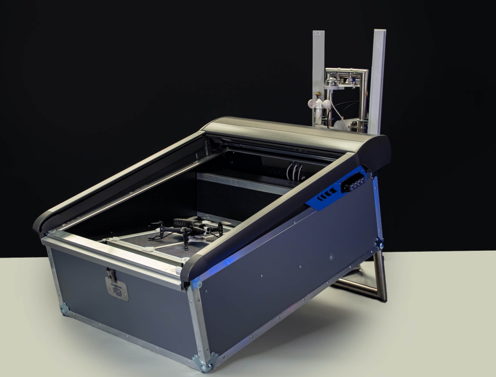
Parrot announced that it is partnering with Hoverseen, a French automatic drone solution provider. Through this partnership, enterprises can now use Parrot ANAFI drones as an automated, drone-in-a-box surveillance solution capable of dispatching and charging itself from a lightweight docking and recharging station. Continue reading