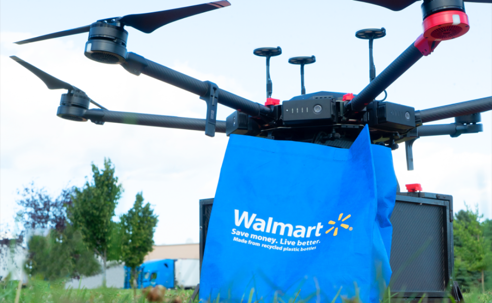
Years ago, Walmart founder Sam Walton famously said, “I have always been driven to buck the system, to innovate, to take things beyond where they’ve been.” It remains a guiding principle at Walmart to this day. Continue reading

an independent online news service for the Unmanned Aircraft Systems world
Years ago, Walmart founder Sam Walton famously said, “I have always been driven to buck the system, to innovate, to take things beyond where they’ve been.” It remains a guiding principle at Walmart to this day. Continue reading

Manifold Robotics has announced an agreement with the New York Power Authority (NYPA), the nation’s largest state public power organization, to develop unmanned aircraft systems (UASs) capable of operating safely near power lines. Continue reading
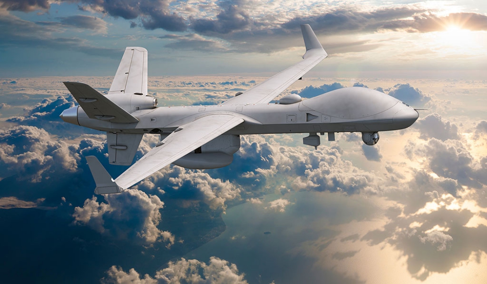
General Atomics Aeronautical Systems, Inc. has integrated the Leonardo SAGE 750 Electronic Support Measure (ESM) system onto the MQ-9B SeaGuardian Remotely Piloted Aircraft System (RPAS). The SAGE 750 integration was performed by GA-ASI in partnership with Leonardo. Continue reading
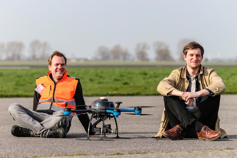
QuadSAT, a Danish company that is revolutionising test and measurement of satellite antennas, announced that it has closed a €2 million Pre-Series A Investment, the largest venture investment in a Danish drone tech company in history. Continue reading
The Ghost 4, the latest product from Anduril, a defense-tech startup founded by Palmer Luckey, the creator of Oculus Rift, shows the potential for AI in military systems. Continue reading
Comparing the North American P-51D Mustang against the Hawker Sea Fury FB.11 flying at the same airshow. Looking at both Warbirds at a technical point of view and at the takeoff, display and landing. Continue reading
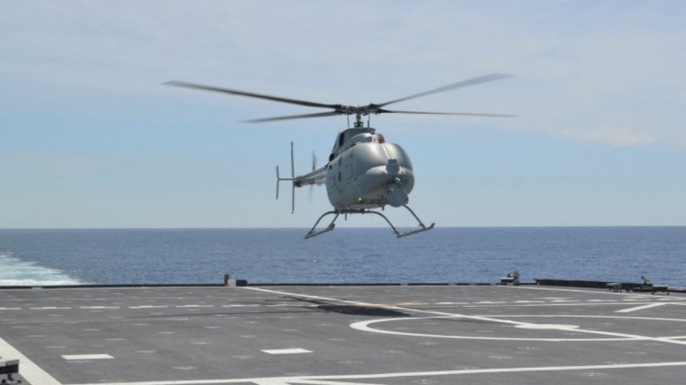
Northrop Grumman Systems Corp. Aeronautics Systems, San Diego, California, is awarded an $11,635,599 cost-plus-fixed-fee order (N00019-20-F-0103) against previously issued basic ordering agreement N00019-20-G-0005. Continue reading
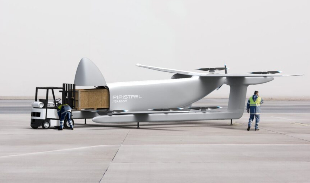
Pipistrel, a pioneer of Type Certified electric aviation, is presenting the Nuuva V300 as the flagship model of the Nuuva series of unmanned air vehicles (UAV). This one‑of‑a‑kind aircraft embodies our vision to disrupt aerial cargo transportation by commercializing the use of electrical vertical take-off and landing (eVTOL) vehicles. Continue reading