
![]()
The European Aviation Safety Agency (EASA) has taken the next step in developing a regulatory framework for unmanned aerial vehicles (UAVs) with the publication of its “technical opinion” on the safe use of unmanned aircraft in Europe’s airspace. Continue reading
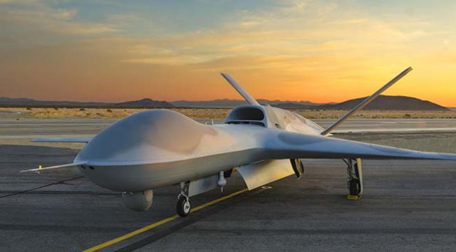
Kratos’ Third UTAP-22 Flight Exceeds Objectives
Kratos Defense & Security Solutions, Inc. announced that it has successfully performed the third flight demonstration of its Unmanned Tactical Aerial Platform (UTAP-22) onDecember 11, 2015, on the Navy test range at China Lake, CA. Continue reading
Unmanned Aircraft Registration System Goes Live

The Federal Aviation Administration’s (FAA) new web-based registration system for small unmanned aircraft systems (UAS) is now active. Hobbyists and recreational users who fly UAS, which include remote controlled aircraft, may register at www.faa.gov/uas/registration. Continue reading
Twitter Gets Drone Patent
 Twitter was granted a patent last week for an unmanned aerial vehicle which can be controlled by users and take pictures and videos.
India Seeks 100 Armed UAS from US
India has sought from the US 100 latest unmanned aerial vehicles, both armed and surveillance versions, worth USD 2 billion to bolster its arsenal amid recurring incursions by Chinese troops. Continue reading
Austin Fire Department Shows Off UAS Team
Austin Fire Department is showing off one of their new tools — aimed at helping keep people safe – their unmanned aerial vehicle, more commonly known as a “drone.” Since drones are a popular holiday gift item, they say it’s important to know the rules beforehand, and check with the FAA. Continue reading
USAF Introduces Enlisted Global Hawk Pilots
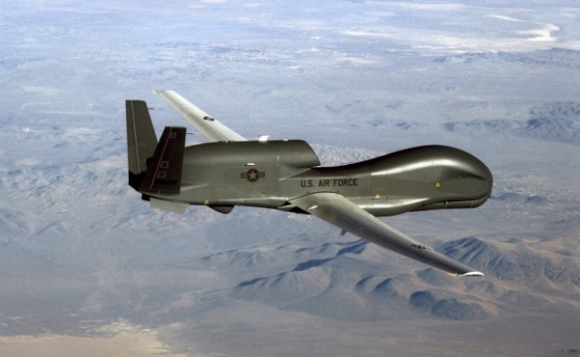
US Air Force officials announced a new initiative Dec. 17 to enhance the Intelligence, Surveillance and Reconnaissance mission by integrating enlisted remotely piloted aircraft pilots into the force. Continue reading
Turkey’s UAS Hits Target from 8 km Away
Turkey’s domestically produced UAV, the Bayraktar TB2, has been armed, making Turkey the fifth country to arm a UAV. With the anti-tank missile installed, which was developed by Roketsan (a major Turkish weapons manufacturer and defence contractor based in the central Anatolian province of Ankara), Bayraktar successfully completed the test shots on Thursday. Continue reading