
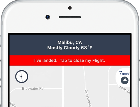
One of the largest private weather enterprises in the world, The Weather Company, an IBM Business, announced that they will be working with AirMap, a provider of low-altitude airspace management services for unmanned aircraft, to allow AirMap to deliver real-time hyperlocal weather data directly to drone operators. Continue reading

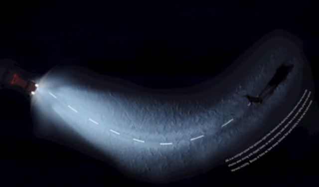 Virtually all current imaging methods rely on light traveling directly from the object to be imaged to the imaging device. Although direct, ballistic, single-bounce light components generally make up a large portion of the total light that is collected by an imaging system, there is a significant contribution from multi-bounce light. This light is scattered or reflected by surfaces in the scene multiple times on the path from light source to detector.
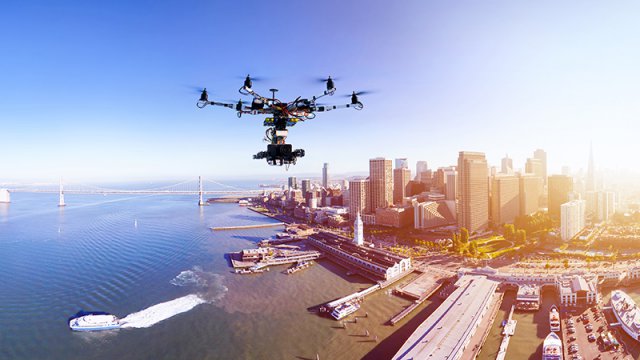 The White House launched a new effort Tuesday to help increase the use of drones and showcased how government agencies have become a proving ground for a wide array of new drone concepts and technologies.

