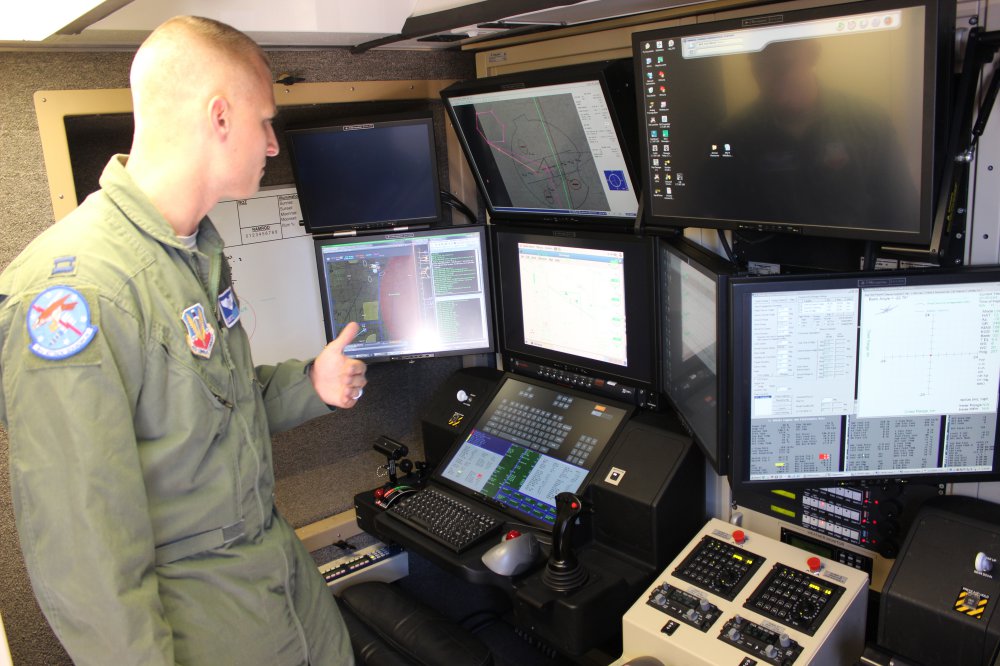
MQ-9 trainers are still facing a task to increase the output of pilots and sensor operators, on track to reach a high of 700 this year with even more needed. Continue reading

an independent online news service for the Unmanned Aircraft Systems world
MQ-9 trainers are still facing a task to increase the output of pilots and sensor operators, on track to reach a high of 700 this year with even more needed. Continue reading

The US Air Force Research Laboratory Advanced Power Technology Office, along with Engineered Propulsion Systems and the Arnold Engineering and Development Center, recently concluded ground-based testing of an advanced diesel engine that promises to increase the utility and ease the logistics burden of military aircraft missions. Continue reading

DNV GL surveyors have carried out the classification society’s first offshore drone survey on the semisubmersible vessel Safe Scandinavia in the North Sea. This 25,383 GT tender support vessel (TSV) is owned and operated by Prosafe, supporting Statoil’s drilling operations off the coast of Norway. Continue reading
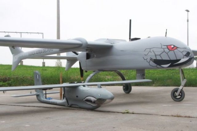
CIDEP’s latest creations, Ricuk and Amaru
The Peruvian Air Force’s (FAP, per its Spanish acronym) Project Research and Investigation Center (CIDEP, per its Spanish acronym) was created in 1993 to develop flight simulators for Cessna A-37 aircraft. Continue reading
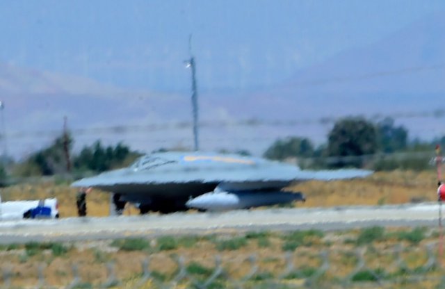
Northrop Grumman is using an X-47B unmanned air vehicle (UAV) as a flying testbed for air refuelling systems in support of its proposal for the U.S. Navy’s upcoming MQ-25A Stingray unmanned aerial refuelling tanker contest. Continue reading
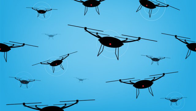
In November, the Air Force and SOFWERX will pit unmanned aerial vehicles against each other in a rumble-style experiment to gather data on drone operations, the Air Force’s secretary said on August 9. Continue reading
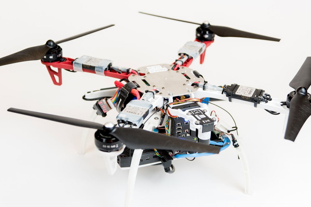
A team from Draper and MIT equipped a UAV with vision for GPS-denied navigation
When a firefighter, first responder or soldier operates a small, lightweight flight vehicle inside a building, in urban canyons, underground or under the forest canopy, the GPS-denied environment presents unique navigation challenges. Continue reading

ScanEagle prepares to launch during a wildfire
Insitu has announced its partnership with FireWhat, and Esri, the world leader in spatial analytics. Through this partnership, aerial reconnaissance for fighting wildfires will be provided by Insitu’s INEXA Solutions, comprised of INEXA Control, Insitu air vehicles including the ScanEagle, and payloads including the new High Accuracy Photogrammetry (HAP) payload. Continue reading