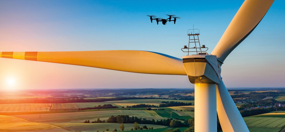
Embry-Riddle Aeronautics University used a small unmanned aircraft system (UAS) to study the effects of wind turbines on farmland beneath them and found that they can impact soil, crops and livestock. Continue reading

an independent online news service for the Unmanned Aircraft Systems world
Embry-Riddle Aeronautics University used a small unmanned aircraft system (UAS) to study the effects of wind turbines on farmland beneath them and found that they can impact soil, crops and livestock. Continue reading
![]()
The US Air Force’s (USAF) Strategic Development Planning and Experimentation (SDPE) office has issued a request for information (RFI) to industry partners for directed energy weapons that could be used in an experimentation campaign. Continue reading
At the Joe Nall Week NOON SHOW 2017, Andreas Gietz flies his giant B-2 Spirit Continue reading
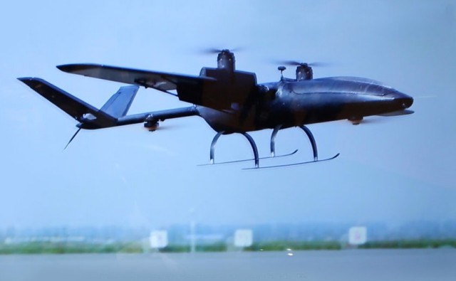
Urban aerial surveillance capabilities are already seen as a crucial element in the information mosaic required for any smart city of the future, and last week’s TM Forum Smart City In Focus Conference in Yinchuan (China) saw the first showing of an Unmanned Aerial System that has been purpose-built for the task based around quite groundbreaking capabilities. Continue reading

DELAIR introduced its next-generation professional unmanned aerial vehicle (UAV) for survey-grade photogrammetric mapping, the UX11, at INTERGEO 2017 on September 26th in Berlin, Germany. This small fixed-wing UAV combines a powerful integrated onboard system, industry-grade sensors, limitless communication range and PPK centimeter-level positioning. Continue reading
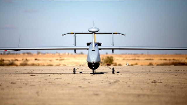
An Aerostar tactical unmanned aerial system (TUAS) from Israel’s Aeronautics has been purchased by the Mexican government through Balam Security (Balam Seguridad privada S.A. de C.V.), a vendor of military equipment and security systems in Latin America. Continue reading
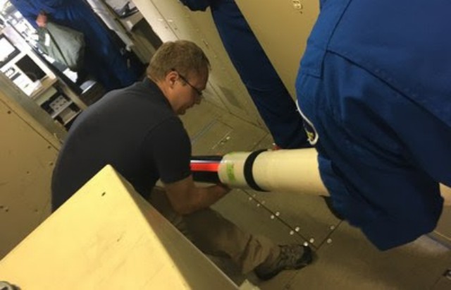
The National Oceanic and Atmospheric Administration used six Raytheon Company Coyote unmanned aerial vehicles to track and model Hurricane Maria. Launched from a NOAA WP-3D Orion hurricane hunter aircraft, the Coyotes flew directly into the storm, giving researchers an unprecedented view of Maria from a safe distance. Continue reading
Camera drone operator Paul Nurkkala just released a video titled “Flight of the Year” that showcases his world-class drone piloting skills. He captured some seemingly impossible footage of his drone flying onto, next to, inside, and under a moving freight train. Continue reading