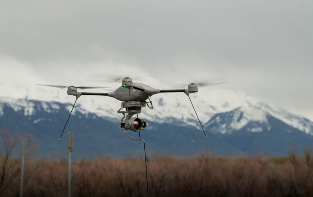
Armasuisse contracted Lockheed Martin for a fleet of Indago 3 small unmanned aircraft systems with options for spares, training and tech support and additional systems for the Swiss Army. Continue reading

UAS VISION
an independent online news service for the Unmanned Aircraft Systems world
Armasuisse contracted Lockheed Martin for a fleet of Indago 3 small unmanned aircraft systems with options for spares, training and tech support and additional systems for the Swiss Army. Continue reading
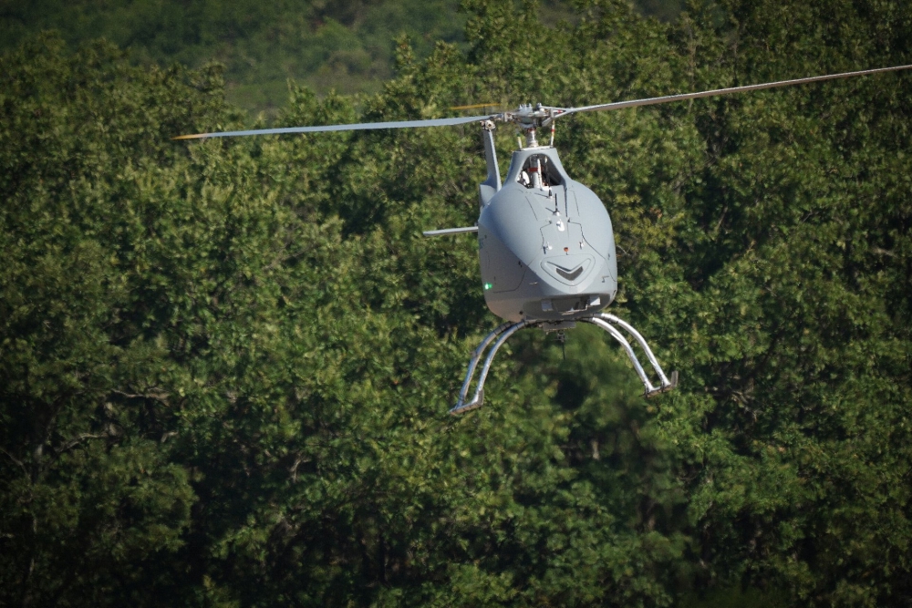
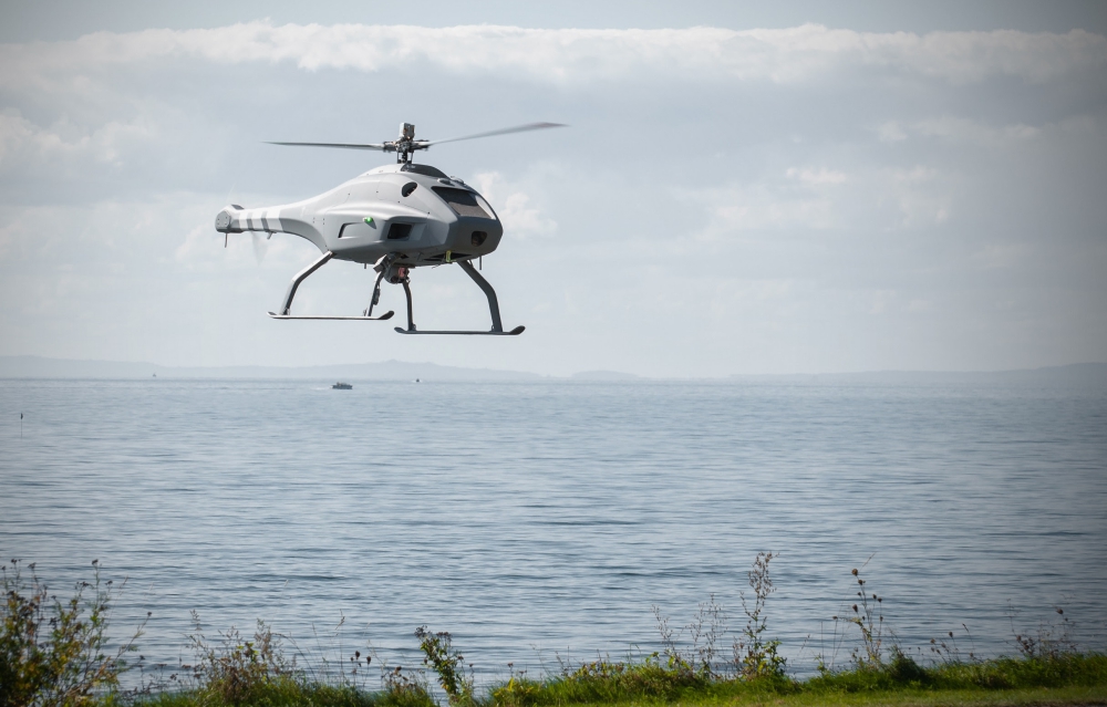
The prototype of Airbus Helicopters’ VSR700 unmanned aerial system (UAS) has performed its first free flight. The VSR700 performed a ten minute flight at a drone test centre near Aix-en-Provence in the south of France. Continue reading
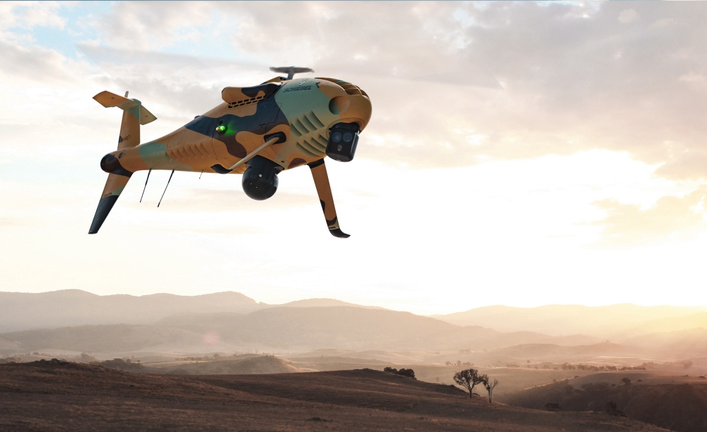
Schiebel Pacific and Raytheon Australia have teamed up for the LAND129 Phase 3 Tactical Unmanned Aerial System (TUAS) project for the Australian Army. The tender response was submitted last week. Continue reading
EHang Holdings Limited announced that it has conducted aerial sightseeing trial flights in Yantai, a coastal city in East China. An EHang 216 took four passengers to the air for aerial sightseeing trips over the sea around the beautiful Fisherman’s Wharf in Yantai city, one of the many AAAA national tourist attraction locations throughout China. Continue reading
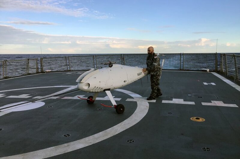
S-100 Camcopter being recovered on HMAS Ballarat’s flight deck
The Royal Australian Navy’s (RAN) Anzac Class frigate, HMAS Ballarat, and a Schiebel S-100 Camcopter Unmanned Aerial Vehicle (UAV) have conducted flight trials. Continue reading
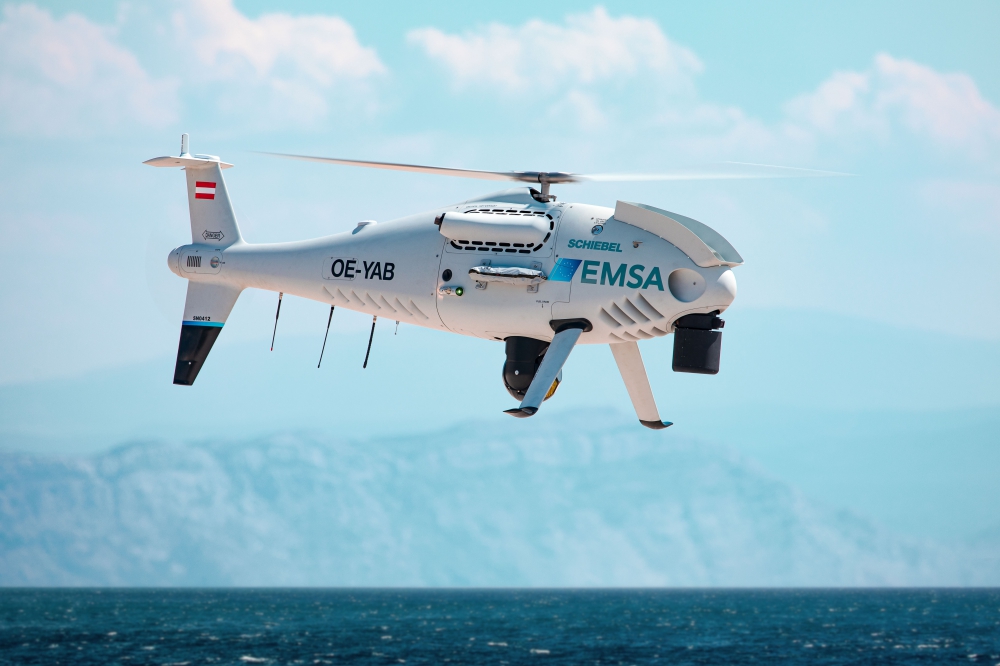
Schiebel, together with partner Nordic Unmanned, is supporting the Danish Maritime Authority (DMA) and the Danish Environmental Protection Agency (DEPA) by using the CAMCOPTER S-100 to monitor ship emissions in Danish waters. Continue reading
Working across 12 new generation ships (six each for the Belgian and Royal Netherlands Navies), this contract is the first to materialize the stand-off concept by using a Toolbox – a system composed of a variety of drones to be deployed by operators in order to fulfil autonomous mine clearance missions at sea. Continue reading
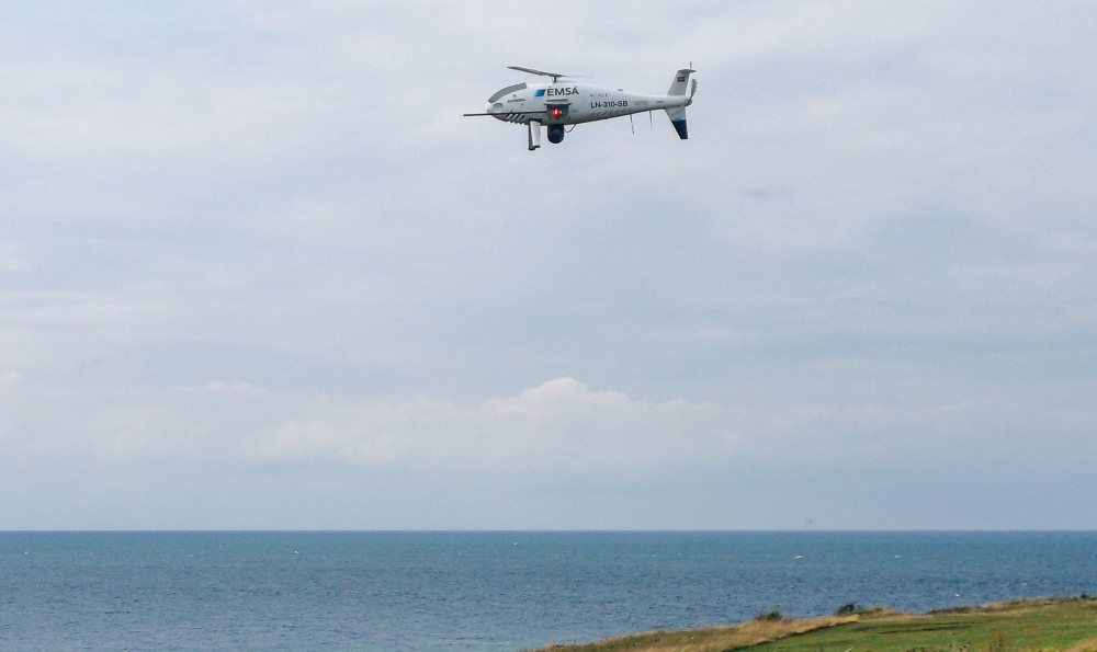
The Finnish Border Guard will operate the CAMCOPTER S-100 for maritime surveillance purposes. The Remotely Piloted Aircraft System (RPAS) service is offered by the European Maritime Safety Agency (EMSA) and will also extend to Estonia and Sweden. Continue reading