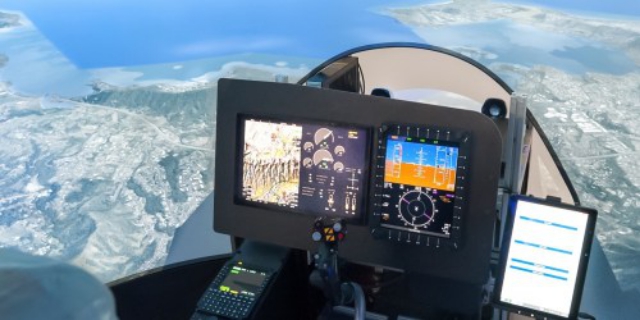
ABSI Aerospace and Defense has announced SecondSky, an integrated virtual training environment that incorporates live air traffic controllers, realistic airspace management, and high-fidelity virtual UAS models utilizing X-Plane technology. Continue reading
Category Archives: Software
Black Swift Developing Active Navigation System
Black Swift Technologies , a specialized engineering firm based in Boulder, CO, announced that it has completed the first phase of a NASA funded project to demonstrate the effectiveness of fusing a host of onboard sensors to develop a terrain-following fixed-wing unmanned aircraft system (UAS), in this case, it will be demonstrated using the Black Swift S2 UAS. Continue reading
Red Cat Releases Beta Version of Blockchain-Based ‘Black Box’ Flight Recorder for UAS
Red Cat ,a provider of distributed data storage, analytics and services for the drone industry, has announced the beta release of its blockchain-based black box storage, analytics and services platform to make drones trackable and accountable. Continue reading
NUAIR Alliance to Collaborate with Measure

L-R: Brandon Torres Declet, co-founder and CEO of Measure and Marke F. “Hoot” Gibson, CEO of the NUAIR Alliance
The Northeast UAS Airspace Integration Research Alliance (NUAIR), a coalition of New York and Massachusetts aerospace and academic institutions, has signed a new collaboration agreement with commercial drone operations company Measure. Continue reading
FlytBase & Skysense Partner to Bring Automated Drone-in-a-Box Solution
FlytBase, Inc. and Skysense, Inc. have just announced a partnership to bring fully-automated, low-cost drone-in-a-box solution to the market and help customers scale their commercial drone deployments. Continue reading
Аutomatic Vertical Scanning for Drones
The new automatic Facade Scan tool of UgCS for drone inspection mission planning is a time and cost saver for construction, engineering and mining industries. Continue reading
SOAR and RelmaTech Partner on Precision Drone Mapping
Australian based blockchain mapping company SOAR, and UK identification and tracking technology company RelmaTech, have entered into a ground-breaking partnership that will significantly enhance the drone operations and delivery of live sensor data feeds for SOAR users. Continue reading
AgEagle Unveils New FarmLens Mobile App
AgEagle Aerial Systems, Inc. a provider of advanced drone imagery-based data collection and analytics solutions for the sustainable agriculture and precision farming markets, announced that it will extend the powerful reach and capabilities of its proprietary FarmLens platform to mobile devices with the launch of its new FarmLens mobile app. Continue reading


