
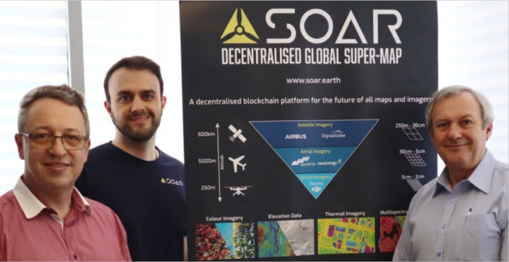
L-R: Neil Prentice, Amir Farhand, Philip Hall
Australian based blockchain mapping company SOAR, and UK identification and tracking technology company RelmaTech, have entered into a ground-breaking partnership that will significantly enhance the drone operations and delivery of live sensor data feeds for SOAR users. The partnership brings RelmaTech’s unique real-time drone management and precision tracking capabilities to the SOAR Super-map.
“This is the first time that onboard drone ID and tracking technologies have been combined with a blockchain driven mapping platform, filling the gap in the accountability, accuracy and authenticity of drone sourced data,”
says Amir Farhand, SOAR CEO.
“Partnering with RelmaTech allows SOAR to realise many opportunities for the Super-map,” adds Neil Prentice, SOAR Partnerships Manager. “For example, with RelmaTech’s Secure Integrated Airspace Management (SIAM) system, SOAR users are able to precisely track their drone flights and access secure live sensor data feeds that are transmitted in real-time. These capabilities, combined with several other SIAM features, will directly contribute to the value of the Super-map.”
“We at RelmaTech believe this partnership will greatly benefit SOAR users in their day-to-day drone operations, particularly where large or remote areas are involved and flights beyond visual line of sight (BVLOS) are necessary,” says Philip Hall, RelmaTech’s Co-Founder and CEO. “Our cutting edge technologies will place SOAR at the forefront of mapping operations ensuring that all data transfers and definitive spatial location information are securely delivered in real-time to drone operators and offsite mission stakeholders.”
“As leaders in this field, our innovative solutions have been designed and developed to meet any future regulatory requirements. This ensures SOAR users employing our technology will be well placed when civil aviation authorities eventually mandate that drone operators will be required to have remote ID and tracking capabilities installed on their drones,” adds Hall. “And that’s a huge consideration.”
“Combining innovative precision drone tracking capabilities with advanced blockchain technologies to permanently record the provenance and authenticity for the multiple data streams that can be collected using drones, is recognised as a significant step forward in the monitoring and mapping of mining, forestry, agricultural and disaster response operations,” emphasised both companies.
Source: Press Release