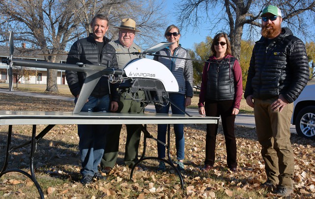
In a development hailed as step forward for search and rescue technology, researchers in Australia have used unmanned aerial vehicles (UAVs) to measure the vital signs of people on the ground. Continue reading
Category Archives: Non-Military & Commercial UAS
ScanEagle with Geographic Information Systems for Fighting Wildfires
Insitu, a wholly-owned subsidiary of The Boeing Company, together with Esri, the world leader in spatial analytics, successfully completed test flights on a revolutionary new way to support firefighting efforts using state-of-the-art software for firefighters and first responders. Continue reading
50-mile Central New York Drone Air Corridor Launched
Officials last week launched what they touted as the first air corridor in the nation where unmanned aerial vehicles can safely fly beyond line of sight for testing and development. Continue reading
Oregon University Researchers UAS Protect Vineyards

Michael Wing, director of Aerial Information Systems Laboratory at OSU , left, and doctorate student Cory Garms – Andy Cripe – Gazette-Times
Since he began using unmanned aircraft in his research in 2012, Oregon State University forestry professor Michael Wing has seen many ways a flight can go wrong. Once, in August, he even had a turkey vulture threaten to attack a quadcopter he was using; the bird came within about 15 feet of the vehicle, he said. Continue reading
Embry-Riddle sUAS Study Effects of Wind Turbines on Farmland
Embry-Riddle Aeronautics University used a small unmanned aircraft system (UAS) to study the effects of wind turbines on farmland beneath them and found that they can impact soil, crops and livestock. Continue reading
$120,000 Fuel Cell Tilt-Rotor UAV for Smart Cities
Urban aerial surveillance capabilities are already seen as a crucial element in the information mosaic required for any smart city of the future, and last week’s TM Forum Smart City In Focus Conference in Yinchuan (China) saw the first showing of an Unmanned Aerial System that has been purpose-built for the task based around quite groundbreaking capabilities. Continue reading
Delair’s New Large-Area Mapping Drone
DELAIR introduced its next-generation professional unmanned aerial vehicle (UAV) for survey-grade photogrammetric mapping, the UX11, at INTERGEO 2017 on September 26th in Berlin, Germany. This small fixed-wing UAV combines a powerful integrated onboard system, industry-grade sensors, limitless communication range and PPK centimeter-level positioning. Continue reading
Mexico Buys Aerostar Tactical Unmanned Aerial System
An Aerostar tactical unmanned aerial system (TUAS) from Israel’s Aeronautics has been purchased by the Mexican government through Balam Security (Balam Seguridad privada S.A. de C.V.), a vendor of military equipment and security systems in Latin America. Continue reading


