
Intel Shooting Star drones made history for the Olympic Winter Games PyeongChang 2018 Opening Ceremony with the Winter Olympics’ first-ever drone light show that also set a Guinness World Records* title for the “most unmanned aerial vehicles airborne simultaneously.” The world record flight was prerecorded for the event. Continue reading
Category Archives: Non-Military & Commercial UAS
CybAero Looks for Missing People
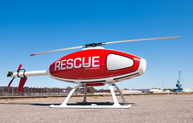
CybAero has announced that the company has signed a collaboration agreement with Missing People Sweden. The agreement allows Missing People to use CybAeros remote controlled drones to find missing people.
PrecisionHawk Creates Commercial Drone Pilots Network
![]()
PrecisionHawk has announced the acquisition of Droners.io and AirVid. Both platforms enable users to commission drone pilots for commercial jobs. PrecisionHawk will merge the companies under the Droners.io name and platform to form a network of more than 15,000 commercially licensed drone pilots – making it the largest of its kind. Continue reading
Five Projects Named for Singapore’s Drone Estate

Plans to designate one-north, a 200HA business park in Buona Vista, Singapore, as a drone estate were announced by Transport Minister Khaw Boon Wan on the sidelines of the Singapore Airshow 2018 on Monday (Feb 5). Continue reading
First Flight Demonstration for Airbus Skyways Parcel Delivery Drone
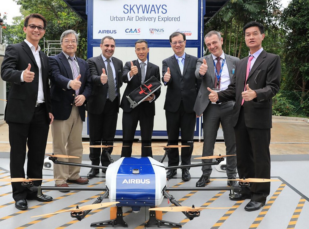
Leo Jeoh (design office head at Airbus Helicopters Southeast Asia) and team around Skyways
Airbus Helicopters’ Skyways unmanned air vehicle has successfully completed its first flight demonstration at the National University of Singapore (NUS). The drone took off from its dedicated maintenance centre and landed on the roof of a specially designed parcel station where a parcel was automatically loaded via a robotic arm. Continue reading
EHANG 184 – First Test Footage Released
EHANG has unveiled footage of the latest test flights of their self-flying passenger aircraft or Autonomous Aerial Vehicle (AAV). The EHANG 184 series is the world’s first passenger drone capable of carrying a single person at up to 130 km/h and in force 7 typhoon conditions. These manned test flights are just the latest in a series of tests to ensure that the EHANG 184 AAV will be safe and ready for public use in the near future. Continue reading
Applied Aeronautics Doubles Production Capacity
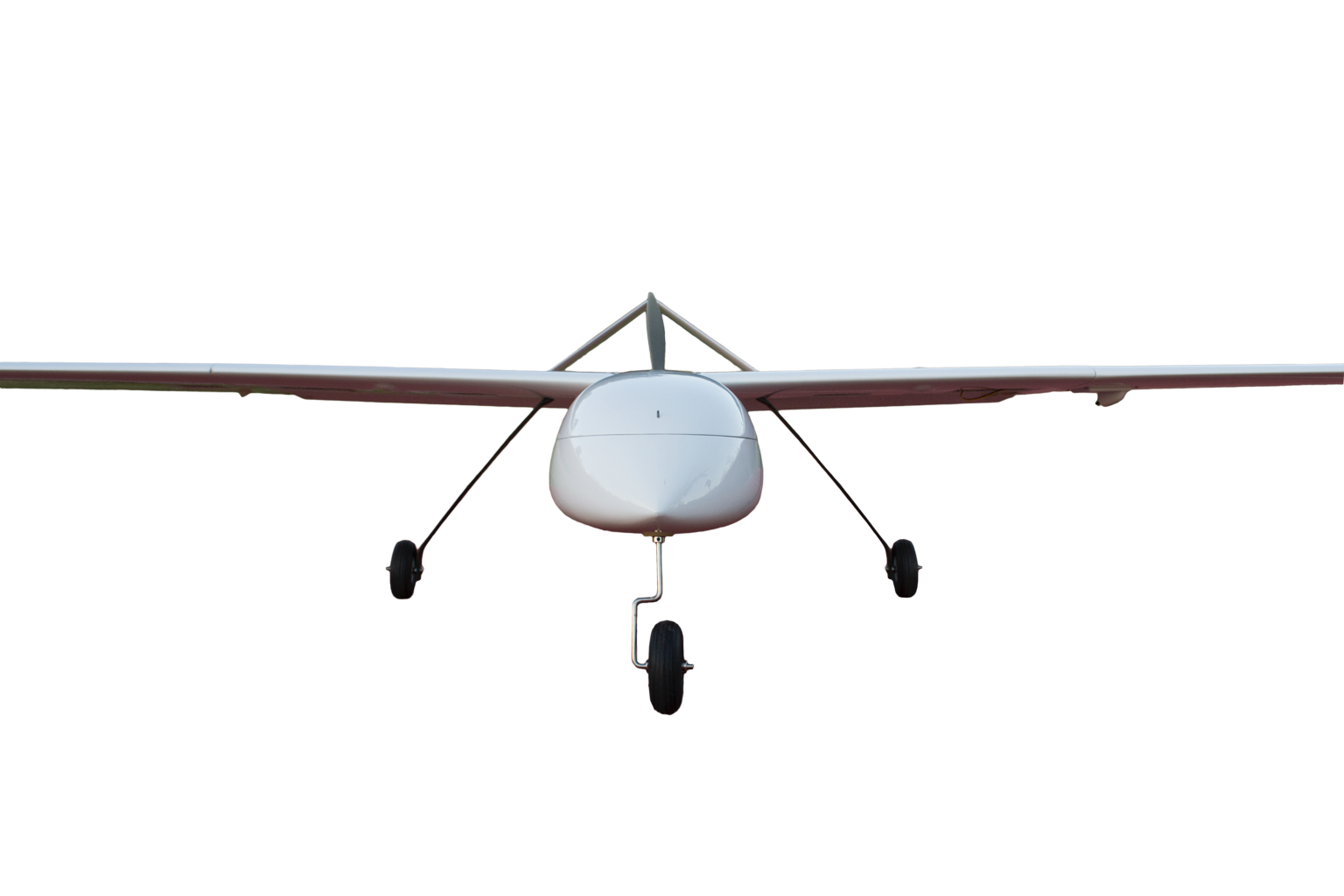
Applied Aeronautics, a provider of affordable commercial drones, has announced their Albatross UAV is operating on all seven continents and in over 40 countries. In response to growing demand for their products across both the private and public sectors, Applied Aeronautics will double its production capacity in Q2 of this year, marking its second facility expansion in the past 18 months. Continue reading
US Drone Drug Smuggler Gets 12-Year Sentence
In Aug. 2017, Border Patrol agents arrested 25-year-old Jorge Rivera, a man who used a remotely operated drone to smuggle 13 pounds of methamphetamine into the United States. Rivera’s trial concluded last week and the jury sentenced him to 12-years in prison. Continue reading