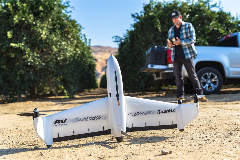
AeroVironment, Inc. has announced that its automated Quantix hybrid drone and AeroVironment Decision Support System (AV DSS) analytics software are now available for sale through its authorized reseller network. Continue reading

UAS VISION
an independent online news service for the Unmanned Aircraft Systems world
AeroVironment, Inc. has announced that its automated Quantix hybrid drone and AeroVironment Decision Support System (AV DSS) analytics software are now available for sale through its authorized reseller network. Continue reading
The John Deere Operations Center is a portal to connect machines, operators and fields, allowing users to optimize agricultural data management. Continue reading
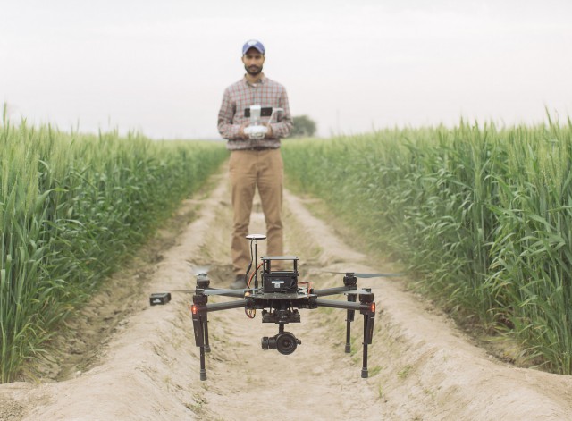 For the past three years, Jesse Poland, an associate professor of plant pathology at Kansas State University, and a team of researchers have worked in five countries to stay on top of wheat improvement and the most promising technology to help … drones. Continue reading
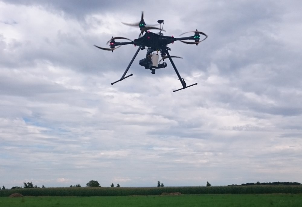
Michael Wing, director of Aerial Information Systems Laboratory at OSU , left, and doctorate student Cory Garms – Andy Cripe – Gazette-Times
Since he began using unmanned aircraft in his research in 2012, Oregon State University forestry professor Michael Wing has seen many ways a flight can go wrong. Once, in August, he even had a turkey vulture threaten to attack a quadcopter he was using; the bird came within about 15 feet of the vehicle, he said. Continue reading
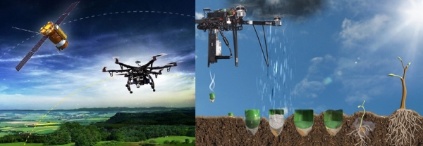
For the past five years, a group of villagers in the delta of the Irrawaddy River in Myanmar has painstakingly planted 2.7 million mangrove trees in an attempt to begin to restore an ecosystem that has been disappearing for decades. But the work is laborious, and the local nonprofit guiding the work wants to cover a much larger area–so they’re now turning to tree-planting drones.
CSIRO and agribusiness, Ruralco, have teamed up in a partnership which will promote greater use of digital technology, including drones and long-range sensing in agriculture. Continue reading
Drone with Butterfleye LS hyperspectral images
Precision farming is set to become even more precise with a new camera drawing on satellite imaging. Thanks to research with ESA on new cameras, hyper-spectral cameras flying on drones are now able to see details as small as 4–5 cm. Continue reading
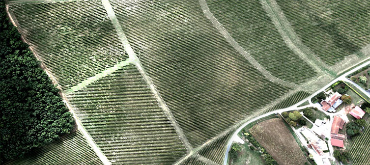
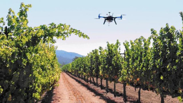 SimActive Inc., a developer of photogrammetry software, has announced that Noveltis, a French company, has been using its Correlator3D software for precision viticulture. Based on multispectral drone imagery, mapping products are generated to determine vine health and detect missing plants. Continue reading