Category Archives: News

ScanEagle with Geographic Information Systems for Fighting Wildfires

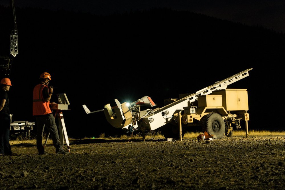
ScanEagle poised for launch at Eagle Creek, Oregon fire.

Insitu, a wholly-owned subsidiary of The Boeing Company, together with Esri, the world leader in spatial analytics, successfully completed test flights on a revolutionary new way to support firefighting efforts using state-of-the-art software for firefighters and first responders. Continue reading

Kittyhawk Launches Comprehensive Risk Assessment Functionality at Drone World Expo

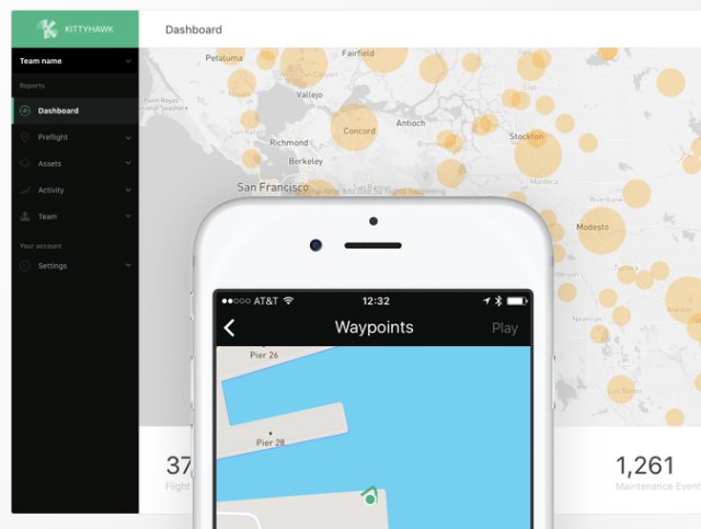
Kittyhawk, the platform that unifies the mission, aircraft, and data to empower safe and effective drone operations, has announced a core new Risk Assessment system and workflow developed in collaboration with CNN Air to further enhance the company’s commitment to safe and compliant drone operations for commercial teams and enthusiasts alike. Continue reading