
Researchers are using a smartphone as the brains behind a small, inexpensive UAS – the phone enables it to find its way around enclosed indoor spaces without using GPS or a remote guide. Although it’s still at an early stage, the so-called SmartCopter could eventually make it safer and cheaper to scout out disaster scenes before human responders plunge in.
Annette Mossel, a graduate student behind the project who studies virtual reality, tracking, and 3-D interaction at the Vienna University of Technology, says the idea was born out of a desire to create an inexpensive, autonomous, unmanned aircraft system that could help survey disaster scenes. Using a smartphone as the processing unit cuts costs and makes it easier to update the UAS software, she says.
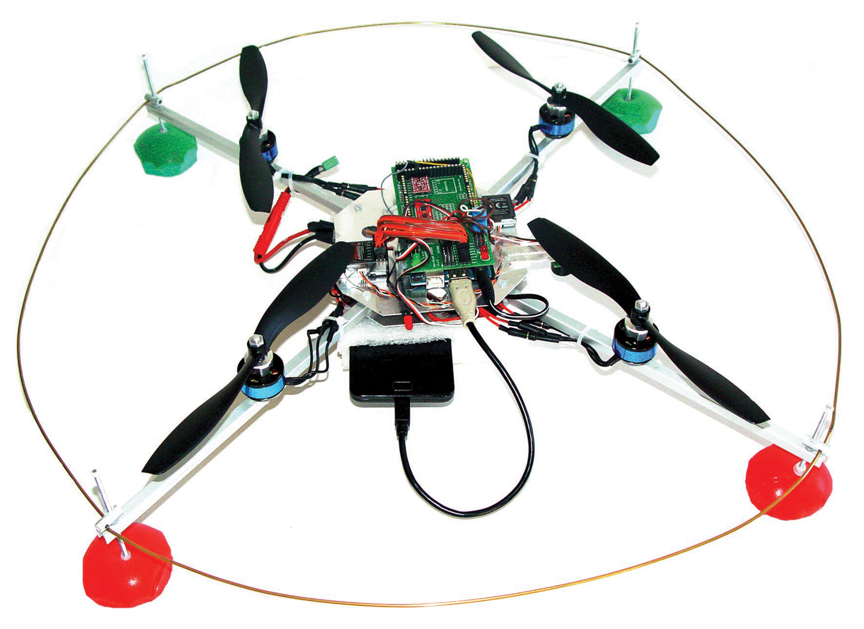
The Vienna group built its test UAS using four motors, an Arduino microcontroller, and a Samsung Galaxy S II Android smartphone. Excluding the phone, Mossel says, it cost about 300 euros ($412) to build. “We wanted to keep the costs low and build our copter based on open hardware approaches,” Mossel says. A paper on the SmartCopter was presented this month at the International Conference on Advances in Mobile Computing & Multimedia in Vienna, Austria.
The big challenge was figuring out the best approach to navigating without using the phone’s built-in GPS, since the technology doesn’t work well (if at all) indoors, and may not be precise enough in some situations (the U.S. government website devoted to GPS indicates that the technology is accurate to within about 26 feet).
The group’s first prototype solved this challenge in a fairly low-tech way: by detecting paper markers that had been set up in the area the UAS needed to track. An app on the smartphone tells the UAS to lift itself to a predetermined height, from which it starts looking for the markers. Each time it finds a new marker, it is added to the UAS’ map. By looking at the markers and evaluating different sensory input from the smartphone’s accelerometer, gyroscope, and magnetometer, the software can determine the UAS’ position in space, Mossel says.
Once it stops finding new markers, it simply hovers and waits for new instructions from a remote laptop that monitors its flight. It could also be programmed to land in a specific spot (perhaps its starting point outside a building, for example) once its job is done.
Besides scoping out disaster scenes, Mossel can imagine a slew of other uses for the SmartCopter, from inspecting the condition of walls and ceilings in big, open rooms in churches and museums to helping shoppers navigate malls.
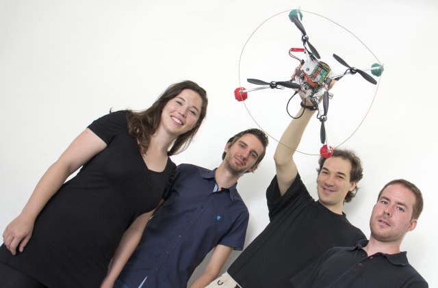
SmartCopter Team (L – R) Annette, Christoph, Hannes and Michael
For now, Mossel and her colleagues are focused on the next phase of their research, which involves getting the smartphone to track features of a room like corners and gradients so the UAS doesn’t need to use markers to map its surroundings.
“We don’t think, ‘Okay, in a year we will make a company and turn it into a product,’ ” she says. “But I think it’s pretty possible for all of us who are working on it.”
Source: MIT Technology Review