
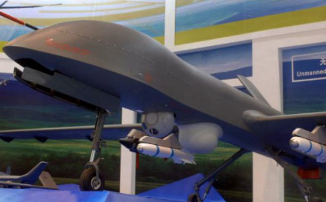
 Algeria is evaluating the Chinese CH-4 unmanned aircraft system (UAS) and is reportedly very interested in acquiring the type, which can be armed with guided weapons. Continue reading
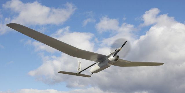
Singular Aircraft Demonstrator Passes Float Tests
 The testing phase of Singular Aircraft Demonstrator SA-03 took an important step forward: In the middle of the month of February the SA- 03, which is an amphibious aircraft, successfully performed a series of manoeuvres and tests in water. Continue reading
Israeli UAS Crashes in Gaza
 An unmanned aircraft of the sort Israel uses for surveillance and missile strikes in Gaza crashed in the south of the territory early on Tuesday, sources on both sides said. Continue reading
Man Caught Smuggling Drugs into Jail by UAS
 A man has used an unmanned four-engined helicopter in an attempt to fly drugs and a mobile phone into a maximum-security prison in Melbourne, police allege. It is believed to be the first time an unmanned small aircraft has been used in an attempt to smuggle drugs into an Australian jail. Continue reading
Stun Gun Toting UAS Demonstrated at SXSW
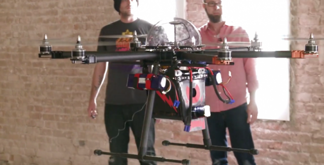 Chaotic Moon, demonstrated its Project C.U.P.I.D. – Chaotic Unmanned Personal Intercept Drone – at SXSW this weekend. It is a six-rotor remotely-controlled aircraft that carries an 80,000 volt stun gun with which it can bring down a crime suspect. Continue reading
European Civil RPAS Market Continues to Grow
![]() The European civil RPAS market is continuing to grow, as is witnessed by the fact that there are now over 1400 certificated RPAS operators in Europe. In this context, the European Commission has commissioned a study of third party liability and insurance requirements for RPAS with the purpose of contributing to the development of insurance regulation, and to support the development of appropriate and competitive insurance offerings. Continue reading
The European civil RPAS market is continuing to grow, as is witnessed by the fact that there are now over 1400 certificated RPAS operators in Europe. In this context, the European Commission has commissioned a study of third party liability and insurance requirements for RPAS with the purpose of contributing to the development of insurance regulation, and to support the development of appropriate and competitive insurance offerings. Continue reading
Dassault Aviation nEUROn UCAV Test Flights
The Dassault nEUROn is an experimental Unmanned Combat Air Vehicle (UCAV) being developed with international cooperation, led by the French company Dassault Aviation. Continue reading
US Air Force Calls to Migrate SYERS-2 Sensor from U-2 to RQ-4
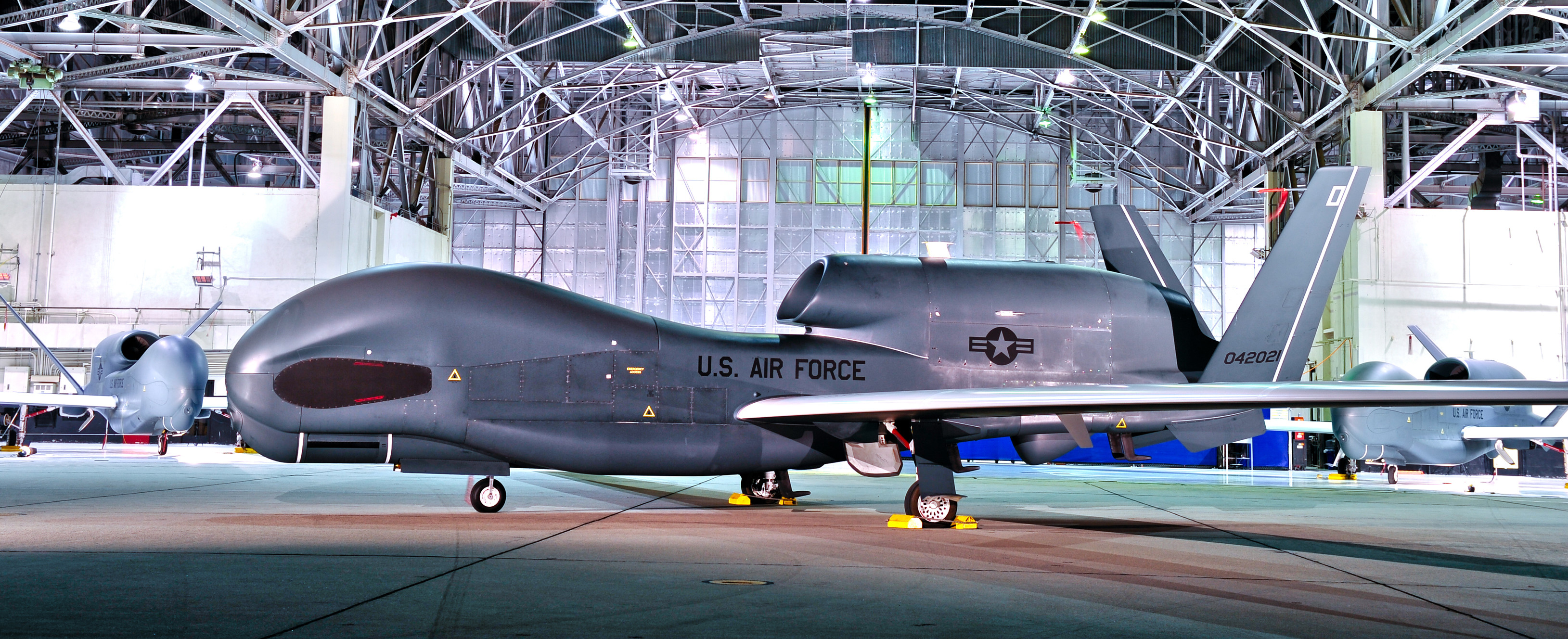 There are “no technical reasons” preventing the Air Force from migrating its prized Senior Year Electro-Optical Reconnaissance System multispectral imagery sensor from the manned U-2 spy plane to the remotely piloted RQ-4 platform, according to the intelligence-gathering system’s prime contractor UTC Aerospace Systems. Continue reading