UAV Mapping of a Landslide

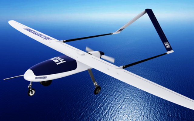
At the end of May 2014, UPVISION, a Czech unmanned aerial vehicle and mapping company, conducted a UAV survey of a landslide on Highway D8, currently ​​under construction near the city of Litomerice, in the northern part of the Czech Republic. A geological survey was conducted on Highway D8, ​​which had been under construction at the time of the landslide. Continue reading

UAS in the Petrol Industry

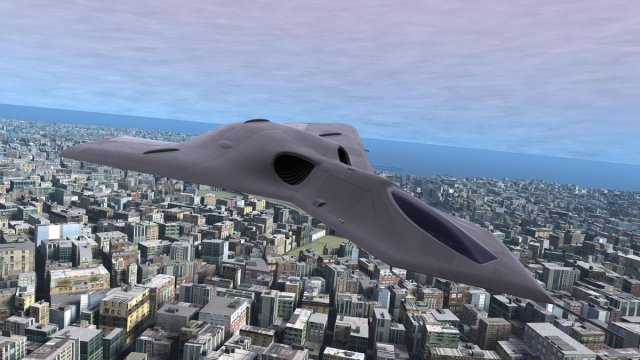
Unmanned Aircraft Systems (UAS), commonly called drones, remain the fastest growing technological advancement and sector in aerospace. Over the next 10 years, the Association of Unmanned Vehicle Systems International (AUVSI) predicts the use of UAS is forecasted to grow into a $140 billion dollar global market. In the simplest terms, UAS are a tool to collect valuable data for end users; they can help increase revenue, decrease cost, and minimize risk. Continue reading