
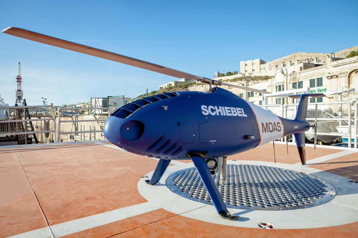
 From the beginning of May, Schiebel’s unmanned helicopter CAMCOPTER® S-100 is once again supporting the MOAS foundation in the rescue of refugees in distress at sea.
Drone Images Aid Rescue Workers in Nepal
Relief workers in quake-stricken Nepal say they are using drones and crowdsourced maps offered by volunteer groups as they seek to get emergency supplies to stranded survivors. Continue reading
FAA Considers Beyond-Line-of-Sight Operations

U.S. aviation regulators are talking to drone makers and service providers about testing commercial drones that can fly beyond an operator’s visual line of sight, currently banned for safety reasons, according to people with knowledge of the discussions. Continue reading
UAV Factory Will be Flying Live at AUVSI from 5,000 Miles Away with Real Time Video
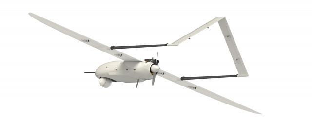 The UAV Factory team will have complete control of the Penguin C from their booth at the AUVSI Show from launch to recovery while it flies 5000 miles away in Europe.
Ansarullah Fighters Recover Saudi UAS in Sa’ada
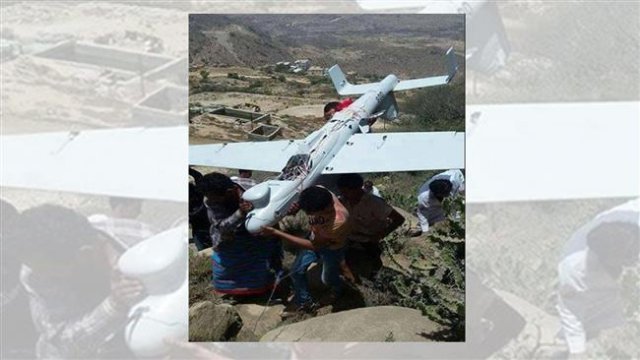 Yemen’s Ansarullah fighters have recovered a Saudi surveillance UAS in the northwestern Yemeni province of Sa’ada. Continue reading
Volz Launches New DA26-D Redundant Servo for Demanding UAV Applications
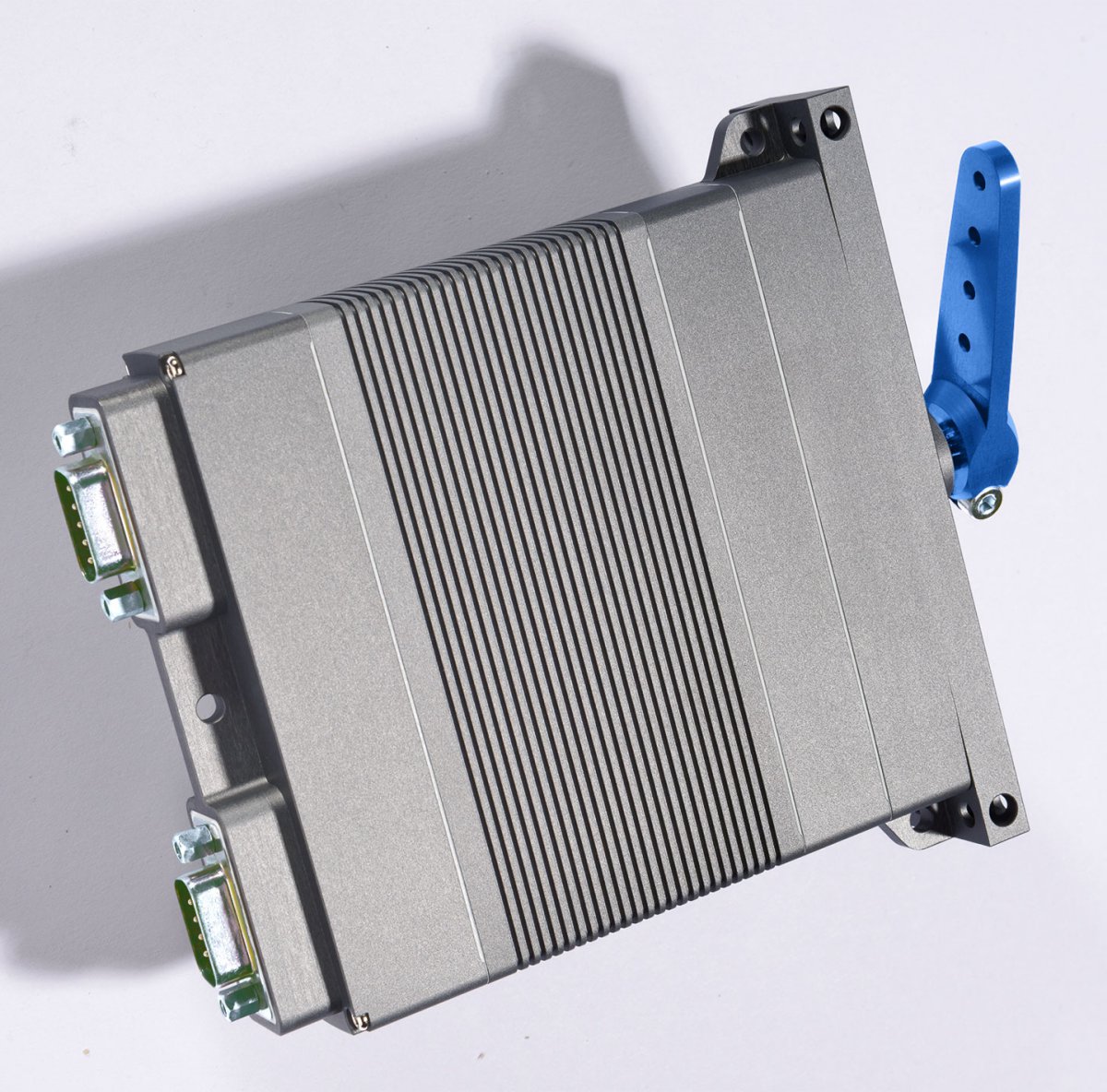
Volz Servos GmbH & Co. KG has just released its new fully redundant DA 26-D actuator for applications with highest reliability demands. The redundant – two channel – design of the actuator allows continuous operation even if one of the two channels has failed. Continue reading
Unmanned K-MAX Helicopter Conducts First Collaborative Casualty Evacuation
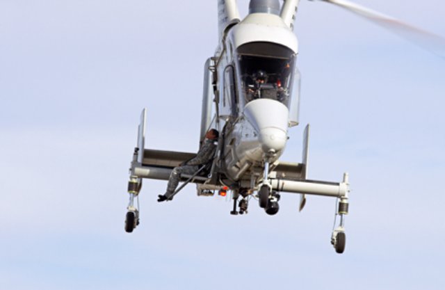
Dangerous frontline operations call for a safe and efficient method to locate and evacuate wounded personnel. To address this critical need and help save lives, Lockheed Martin, Kaman Aerospace, and Neya Systems demonstrated the first ever collaborative unmanned air and ground casualty evacuation using the unmanned aerial system (UAS) Control Segment (UCS) Architecture and K-MAX® cargo helicopter on March 26. Continue reading
AirMap Launches Free, Comprehensive Airspace Database for Unmanned Aircraft Operators
 AirMap is a free, comprehensive digital map that allows unmanned aircraft system (UAS) operators to visualize the airspace around them, including areas where they may not be permitted to fly. Airspace rules are complex. AirMap removes barriers to compliance by providing the low altitude airspace information that unmanned aircraft operators need.