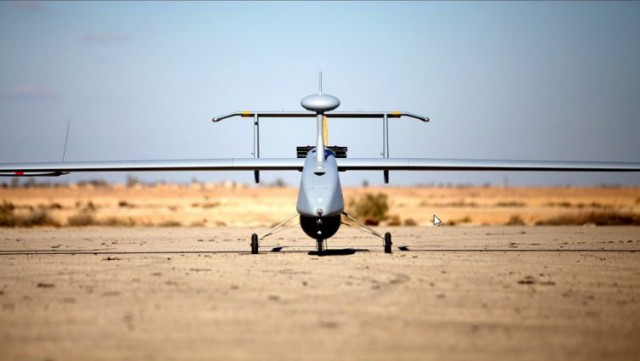
DELAIR introduced its next-generation professional unmanned aerial vehicle (UAV) for survey-grade photogrammetric mapping, the UX11, at INTERGEO 2017 on September 26th in Berlin, Germany. This small fixed-wing UAV combines a powerful integrated onboard system, industry-grade sensors, limitless communication range and PPK centimeter-level positioning. Continue reading