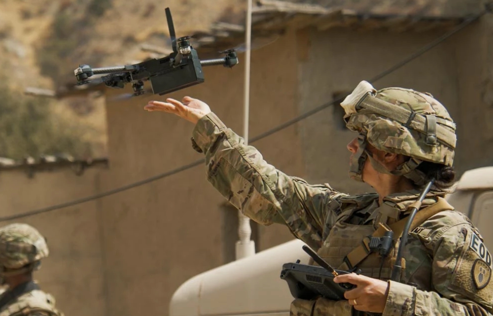
Skydio has announced the U.S. Army elected to continue with the Skydio X2D SRR system to complete remaining integration and documentation requirements within the Other Transaction Agreement Prototype Phase. Continue reading

UAS VISION
an independent online news service for the Unmanned Aircraft Systems world
Skydio has announced the U.S. Army elected to continue with the Skydio X2D SRR system to complete remaining integration and documentation requirements within the Other Transaction Agreement Prototype Phase. Continue reading
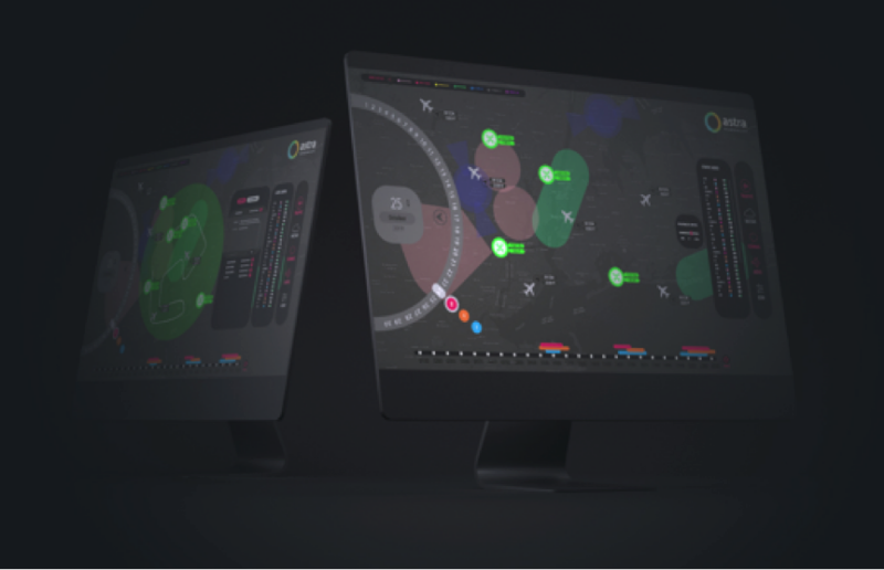
Astra UTM has announced that it has signed an agreement with Fintraffic Air Navigation Services to implement the initial UTM-centric services in Finland. Astra UTM will be delivering the Situational Awareness and Briefing Facility systems for Fintraffic ANS’s Digital Business Platform which is a collaborative initiative under Traffic Management Company Fintraffic Ltd. Continue reading
Sagetech Avionics announced that it has received a U.S. Air Force Small Business Technology Transfer (STTR) contract for the initial development phase of components for a type-certifiable detect-and-avoid (DAA) system. The resulting system will enable UAS to safety operate beyond visual line-of-sight (BVLOS) in the National Airspace System (NAS). Continue reading
Northrop Grumman FAAD C2
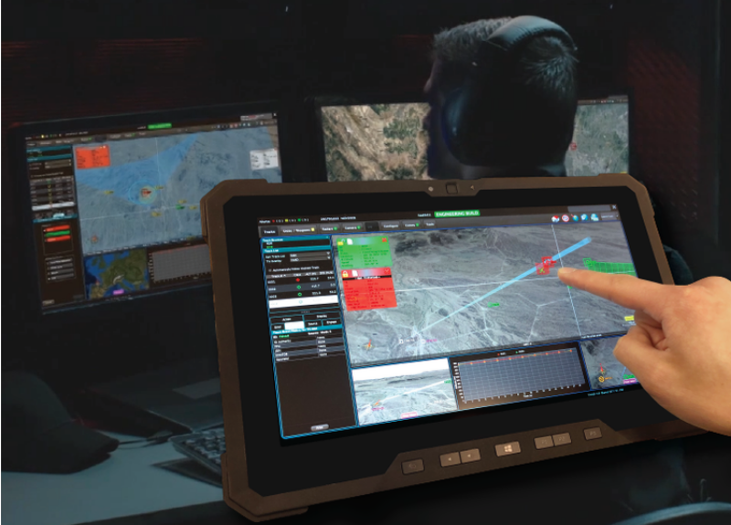
Pierce Aerospace announced that it successfully integrated Flight Portal ID, an ASTM F3411-19 compliant Remote ID / Combat ID technology suite, into multiple Command and Control systems for Counter UAS (C-UAS) operations, including initial integration steps with the U.S. Army’s Forward Area Air Defense (FAAD C2) during the US Army’s Defense in Depth Experiment (DiDEX), held in downtown New Orleans, LA in November. Continue reading
AirData UAV and Autel Enterprise Robotics have announced a new partnership specially tailored to meet the needs of Autel Pilots across the USA: Autel EVO II users will receive a one-month free trial of AirData Enterprise fleet management software. Continue reading

Vodafone Business has unveiled a powerful new service, combining the ultra-quick response times of distributed Multi-access Edge Computing (MEC) technology with the fast speeds of 5G. Continue reading
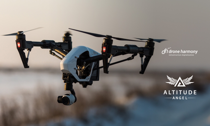
Altitude Angel, a global UTM (Unmanned Traffic Management) technology provider, today announced that mission planning platform, Drone Harmony, has opted to embed Altitude Angel’s market-leading data in its flight mapping solutions. Continue reading
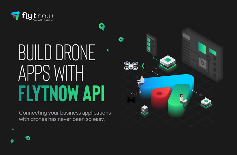
FlytBase, Inc has announced the release of hardware-agnostic cloud-based drone APIs, enabling enterprises to easily integrate drones with their business applications. Continue reading