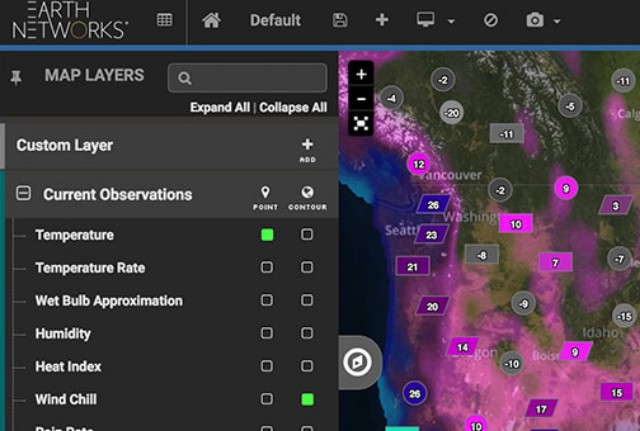
SimActive Inc., a developer of photogrammetry software, has announced that Noveltis, a French company, has been using its Correlator3D software for precision viticulture. Based on multispectral drone imagery, mapping products are generated to determine vine health and detect missing plants. Continue reading
Category Archives: Software
NTT to Launch Drone Traffic Management Software
NTT DATA Corporation has announced the launch of the “airpalette UTM” software package in October 2017. This software package consists of an “FOS” (Flight Operation System) drone operation control function for businesses that use drones and a “UTM core” (UAS Traffic Management core) unmanned aircraft traffic management function for airspace managers. Continue reading
HAZON Updates Drone Management System

HAZON Solutions, a drone inspection services company, announced the launch of the latest version of the HAZON Drone Management System (HAZON DMS). Only four weeks after the initial release, HAZON has added two new features, Lessons Learned and Incident Reporting, further promoting safety and FAA compliance for drone operations. Continue reading
Hydra Fusion Processes Real-Time 3D Terrain Maps

Lockheed Martin’s Hydra Fusion Tools software now enables UAS to form three dimensional terrain maps as they fly, providing real-time tactical information and mapping data for conflict or otherwise inaccessible areas. Continue reading
DroneDeploy’s Instant Drone Mapping for Agriculture
DroneDeploy has announced the beta release of its new Fieldscanner product offering real-time drone mapping, just in time for the spring growing season. With Fieldscanner, available as part of DroneDeploy’s iOS app, farmers can use any DJI drone to create a map of their fields as the drone flies so that they can view insights before it lands.
Trumbull Uses SimActive for Emergency Response
SimActive Inc. has announced that Trumbull Unmanned is using Correlator3D as part of their emergency response services. This includes rapid mapping of oil spills and pipeline inspections for large surveys. Continue reading
New Software Simplifies Oil and Gas Inspections
Industrial Skyworks has announced the official launch of Blue VU advanced software for the accurate and efficient inspection of buildings, and oil and gas infrastructure. Industrial Skyworks’ new Blue VU software will relieve inspectors, engineers and technicians from sifting through thousands of images while providing safe visual access to hard to reach locations, such as the roofs of buildings, flare stacks, and storage tanks.
MQ-4C Triton Improves Mission Capability with Software Upgrade Test
The U.S. Navy’s MQ-4C Triton, built by Northrop Grumman Corporation (NYSE: NOC), completed formal lab testing and a successful first flight of an improved software suite that enhances the autonomous unmanned system’s operational capabilities and enables Early Operational Capability (EOC) deployment in early 2018. Continue reading