Category Archives: Payloads

Singapore’s ST Aerospace Displays CM100 Gimbal from UAV Vision of Australia on its USTAR-Y UAS

USTAR

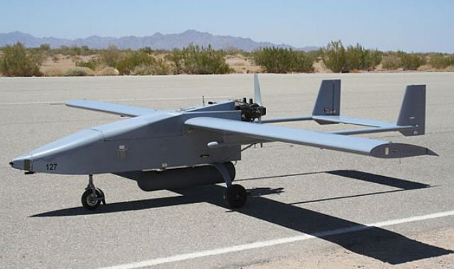
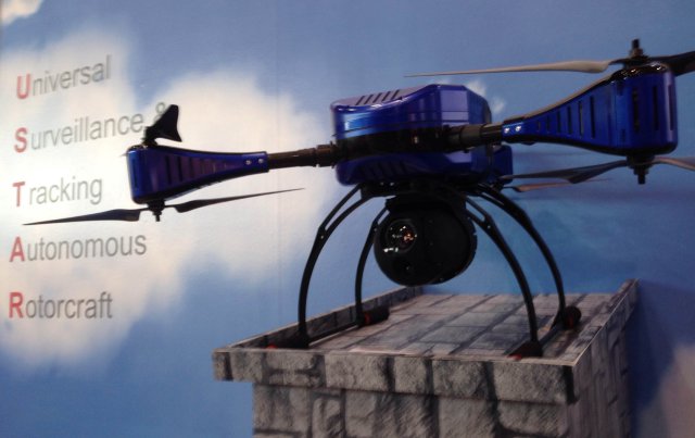
Presented at the Singapore Air Show 2 weeks ago, the USTAR-Y from ST Aerospace is a portable hexa-rotor UAS, specially designed for urban and open terrain applications. The VTOL concept provides adaptability and manoeuvrability, and also has a tool-less assembly which allows for a quick system set-up, thus reducing turnaround time. Continue reading

New Multispectral and Hyperspectral Processing from MosaicMill

EnsoMOSAIC_HyperspectralEnsoMOSAIC photogrammetry software now supports multispectral imagery collected by the Tetracam Mini-MCA 4, 6 or 12 –band and other similar cameras, and hyperspectral imagery of Rikola cameras up to 32 bands. The Rikola camera is the world’s smallest and lightweight hyperspectral frame camera suitable both for fixed wing and rotary wing UAS.

Continue reading

Pix4D Integrated Editing Software Combines Computer Vision and Photogrammetry

Pix4D has released a new software package Pix4Dmapper, a fully integrated editing tool providing extended CAD and GIS possibilities. The rayCloud, Pix4D’s latest innovation included in Pix4Dmapper, combines the 3D point cloud with the original images for easy viewing as well as highly accurate semantic annotation and project improvement. Continue reading

Predator B Demonstrates Integrated, Networked Electronic Warfare Potential

WTI MQ9 Reaper FrontGeneral Atomics Aeronautical Systems, Inc. (GA ASI), and Northrop Grumman Corporation have announced the second successful demonstration of Predator B/MQ-9 Reaper’s Electronic Attack capability featuring Northrop Grumman’s new Pandora Electronic Warfare (EW) system at the U.S. Marine Corps’ (USMC) Weapons and Tactics Instructor (WTI) course held at Marine Corps Air Station (MCAS) Yuma on October 22. Continue reading

Applanix Conducts Successful Test flight of Professional Mapping UAS

Applanix_UAV3

Applanix Corporation and American Aerospace Advisors have completed a successful series of test flights of AAAI’s RS-16 platform equipped with Applanix’ DMS-UAV aerial photogrammetry payload. This is the first successful mission for a long-endurance UAS capable of producing professional-grade, directly georeferenced mapping imagery for civilian applications such as pipeline monitoring, power line and emergency response mapping. Continue reading