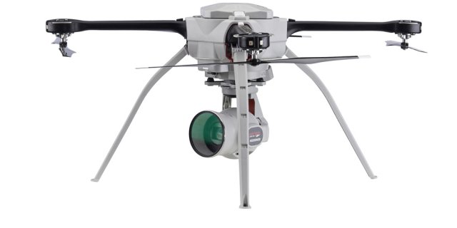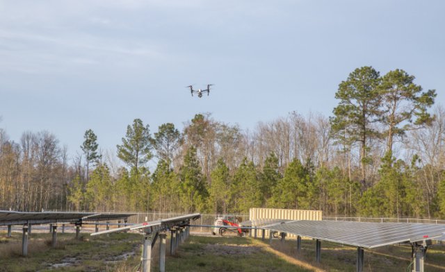
Aeryon Labs Inc., and DroneDeploy, a drone data platform, have announced their partnership to deliver integrated UAS solutions to end-users and service providers in the commercial/industrial market. Continue reading
UAS VISION
an independent online news service for the Unmanned Aircraft Systems world

Aeryon Labs Inc., and DroneDeploy, a drone data platform, have announced their partnership to deliver integrated UAS solutions to end-users and service providers in the commercial/industrial market. Continue reading

The UK Maritime Coastguard Agency (MCA) has begun studies into introducing an unmanned aircraft to assist in search and rescue (SAR) operations by the end of 2019. Continue reading

After Rwanda made waves in the news early last year for allegedly being the first country to approve drone delivery, people payed attention. The country, with its rolling hills and one of the fastest growing economies in Central Africa has already established regulations regarding drones and become a vanguard of sorts for the region. Continue reading

Airware, which provides end-to-end solutions that turn aerial data into actionable business intelligence for enterprises, announced that it has secured a strategic investment from Caterpillar Ventures. The investment allows Airware to accelerate programs that enable dealers to offer solutions and services within the construction, mining, and quarrying industries, and highlights Caterpillar’s commitment in leading the Industrial Internet of Things (IIoT). Continue reading
Baam.Tech has announced their company launch as well as the launch of their brand new fixed-wing aircraft, the Futura. The Futura was designed specifically for the commercial surveyor and centred around the strong belief that current commercial UAV systems fall short to accomplish timely and accurate data collection in the field.

Agribotix has partnered with senseFly, a producer of professional fixed-wing drones, to offer a new combined solution for professional users. This premium technology solution combines the top drone, sensor and agricultural data processing technologies available today to make collecting and analyzing aerial data easier than ever, with several times more coverage, per flight, than is possible with most quadcopter solutions. Continue reading

A hyperspectral camera was used in the project to collect data in 270 colour bands, which is far more than the human eye can see – Queensland University of Technology
A high-definition camera and drone have captured an aerial view of Western Australia’s Ningaloo Reef in an effort to monitor the health of the pristine region. Queensland University of Technology researchers scanned 40 hectares of Ningaloo Reef, the largest existing fringing reef in the world, over 30 minutes, 100 metres above the sea surface. Continue reading
A Japanese drone services start-up has chosen Queensland for its regional office after being inspired by the Palaszczuk Government’s drive to advance innovation and entrepreneurship across the state. Deputy Premier and Minister for Trade and Investment Jackie Trad said Terra Drone, a Japanese unmanned aerial vehicle (UAV) provider, made the decision to come to Brisbane as a result of the Premier’s trade mission to Japan in November 2016. Continue reading