
During the Super Bowl, Intel Corporation partnered with the NFL to create the first-ever live drone light show during a Super Bowl Halftime Show. Intel and the NFL will also make advanced Intel True View highlights available for fans to relive the most exciting moments of the biggest game of the year. Continue reading
Category Archives: Non-Military & Commercial UAS
Airobotics Announces Integration of LiDAR
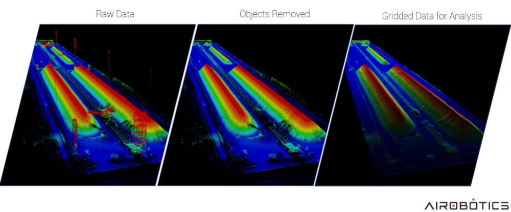
This LiDAR elevation model of a stockpile at a mining site was generated using an Optimus drone flight. After collecting raw data using LiDAR, professionals are able to remove above-the-ground information, such as heavy machinery, vegetation and people without having to physically remove them. Ultimately, this allows for access to proper data scans of the areas
Automated drone startup Airobotics has announced the introduction of LiDAR capabilities, which until a few years ago was only possible with an aircraft as the sensors were hefty and required manual data processing. Today, LiDAR images are captured and processed quickly in the cloud, allowing Airobotics’ customers to make effective decisions based on high-frequency, consistent data capture. Continue reading
Hong Kong to use Drones to Monitor Emissions by Ships

Hong Kong environmental inspectors will take to the skies to police the city’s waters with drones to help enforce a new law requiring ships to burn cleaner marine fuels. The sensor-equipped drones designed by the University of Science and Technology will be flown into smoke plumes spewed from ships and conduct real-time measurements mainly of sulphur dioxide emissions. Continue reading
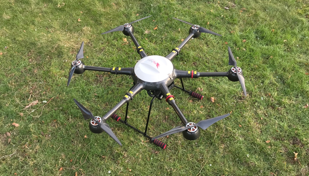
Public Safety Technology Summit Speakers Preview
Dan Mark, a lieutenant for the city of Aurora Police Department in Colorado, has attended countless conferences during the 34 years he has been a police officer, but says he is a big fan of the summits put on by Foundation Research Associates (FRA). That’s why he has agreed to co-chair the Public Safety Technology Summit, Feb. 27-28, at The Mayfair at Coconut Grove. Continue reading
Concept of Operations for Safe European Drone Traffic: Registration for Workshop Now Open

CORUS gathers experts from aviation (manned and drone), research and academia to develop and write a concept of operations for U-Space, the European system for management of drones. Continue reading
‘The Economics of Using Drones for BVLOS Inspections’
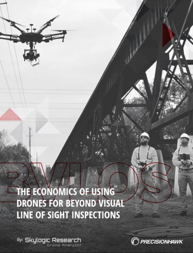 PrecisionHawk and Skylogic Research have just published a whitepaper in which they highlight the economic benefits of using drones for BVLOS operations across various industries. Specifically, the report details how the economics of BVLOS compare with visual-line-of-sight drone operations, as well as more traditional methods such as manual inspections or the use of manned aircraft. Continue reading
Rakuten to Test Drone Deliveries in Japan
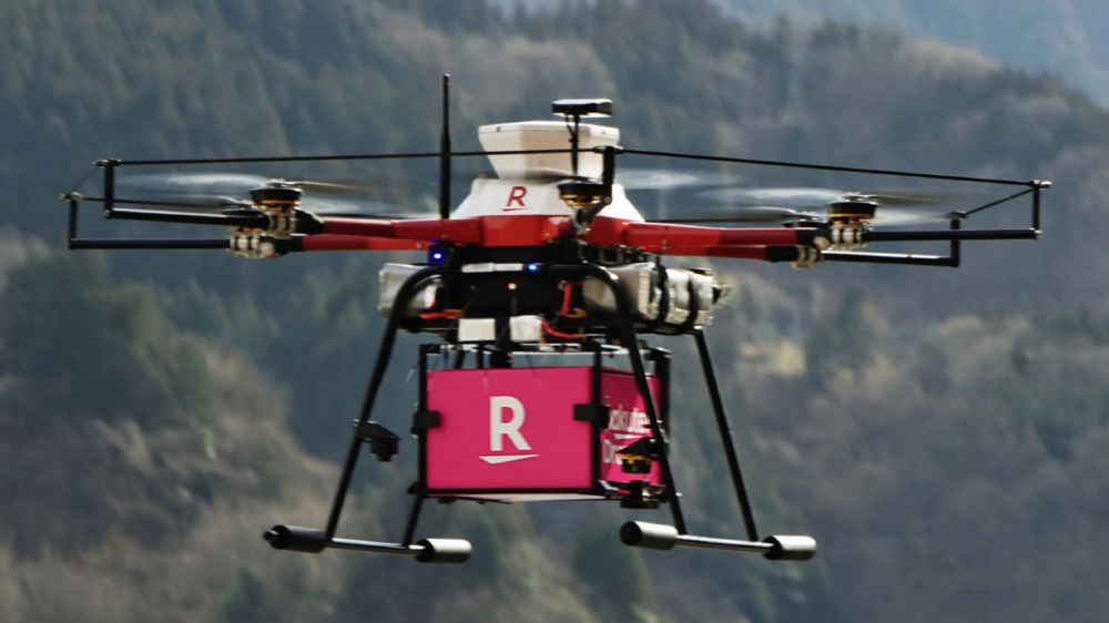
Rakuten, one of Japan’s leading e-commerce platforms, has announced that it will start delivering packages via drones in sparsely populated areas during the fiscal year beginning in April, now that the country has eased regulations on such flights. Continue reading
Airport Surveillance with Drones for Improved Flight Safety
Future airports will be more and more automated and remotely controlled, and drones are expected to be integrated with daily operations. A newly granted project ASAS – Airport Surveillance for Airport Safety, led by RISE Research Institutes of Sweden and to be conducted together with LFV (Luftfartsverket), Swedish Regional Airports (SRF), Örnsköldsvik Airport (OER) and FlyPulse will develop and demonstrate drone solutions to help automate daily operations in airports. Continue reading