
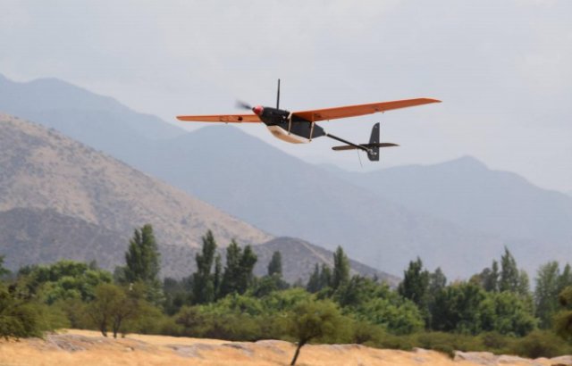
 The new Sirol-110 v2015 small unmanned aerial system designed and produced by IDETEC Unmanned System has been successfully used during a mapping campaign in Atacama’s desert a week ago. The new system achieved a series of flights in desert conditions, handling heavy winds, dust and extreme temperature conditions.
Category Archives: Geology
UH-Hilo Researchers Map Lava Flow with UAS
 Predicting where the June 27 lava flow in Hawaii will go next is a fluid undertaking. In addition to the original topography of the landscape impacted by lava flows, workers with Hawaii County Civil Defense must take into account the changes made to the topography by the hardened lava left on the surface and how that will affect future flows. Continue reading
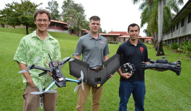
Hawaii University Uses UAS to Map Lava Flow
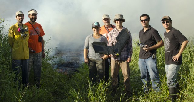 Researchers from the University of Hawaiʻi at Hilo successfully mapped the active flow front of the June 27, 2014 Kilauea lava flow on Hawai‘i Island with an unmanned aerial vehicle (UAV) on October 22. In a collaborative partnership with Hawai‘i County Civil Defense and the U.S. Geological Survey Hawaiian Volcano Observatory, the flight team from the UH Hilo Spatial Data Analysis and Visualization (SDAV) Laboratory used a Sensefly SwingletCAM with a visible camera to collect high resolution stills later merged into a mosaic for use by Civil Defense emergency planners.
Student UAS Project to Monitor Natural Gas Pipelines
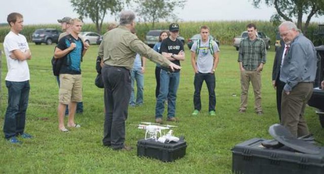 Cedarville geology and geoscience students are working on two senior projects using an Unmanned Aerial System (UAS), , as part of a partnership with Remote Intelligence, LLC., in Wellsboro, Pa. Remote Intelligence is partnering with Cedarville to provide guidance and material resources to students. Cedarville and Remote Intelligence are also in preliminary talks to study how UAS systems could help in the planning, construction, and monitoring of natural gas pipelines.