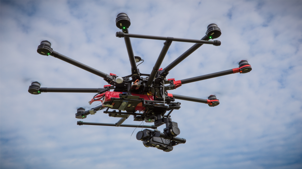
Category Archives: Aerial Photography

Hollywood’s Drone War: Licensed Pilots or Unionized Photographers?

Game of ThronesFate of the Furious and Jurassic World are just some of the Hollywood productions in recent years taking advantage of drone technology for stunning aerial shots. But how about the individuals who remotely pilot these drones? Where do they fit in within the entertainment industry’s labor ranks? Continue reading

Delair Drone Data now Integrates with Trimble Business Center v5.0

Delair has announced interoperability of high-precision data acquired from the Delair UX11 drone with version 5.0 of the Trimble Business Center software. The integration enables geospatial professionals to simply drag and drop Delair UX11 PPK data directly into Trimble Business Center projects. Users can combine the high-quality flight data with other sensor data to rapidly create vivid orthomosaics and highly accurate surface models. Continue reading

UAVOS Fixed-Wing Sitaria Completed Flight Tests


UAVOS Inc. has completed a series of test flights of a new Sitaria fixed – wing UAV. The new UAV is designed for patrol and observation missions, for aerial photography of terrain area with a radius of up to 120 km. Among other tasks, the unmanned aircraft is purposely designed to work with the LIDAR airborne laser scanning equipment as payload. Continue reading