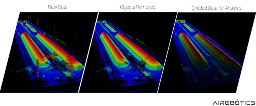
This LiDAR elevation model of a stockpile at a mining site was generated using an Optimus drone flight. After collecting raw data using LiDAR, professionals are able to remove above-the-ground information, such as heavy machinery, vegetation and people without having to physically remove them. Ultimately, this allows for access to proper data scans of the areas
Automated drone startup Airobotics has announced the introduction of LiDAR capabilities, which until a few years ago was only possible with an aircraft as the sensors were hefty and required manual data processing. Today, LiDAR images are captured and processed quickly in the cloud, allowing Airobotics’ customers to make effective decisions based on high-frequency, consistent data capture. Continue reading