
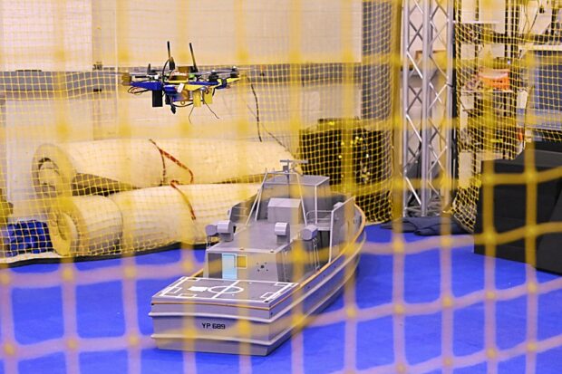
The Naval Air Warfare Center Aircraft Division successfully proved an unmanned system can navigate missions and land aboard Navy ships without GPS or pilot control during recent testing.
“In contested areas where satellites and communications are jammed, autonomy gives significant advantage to our sailors,”
said Navy Rear Adm. Todd Evans, NAWCAD commander.
“Breakthroughs like this help us scale unmanned capability fast and affordably across a distributed fleet.”
The flight demonstration showed that a tactical drone could fly mission tasks and execute recoveries on a pitching vessel at sea — even when satellite navigation is jammed or unavailable — using its own commercial-standard cameras, motion sensors and electronics.
“In a high-end maritime conflict, GPS is the first operational link an adversary attempts to sever,”
said Peter Arslanian, NAWCAD aerospace engineer.
“By developing a modular adaptable system and putting it directly onto a [unmanned aerial system], we expand where and how the fleet can deploy unmanned systems with a simple software upgrade rather than expensive modifications to space-constrained ships.”
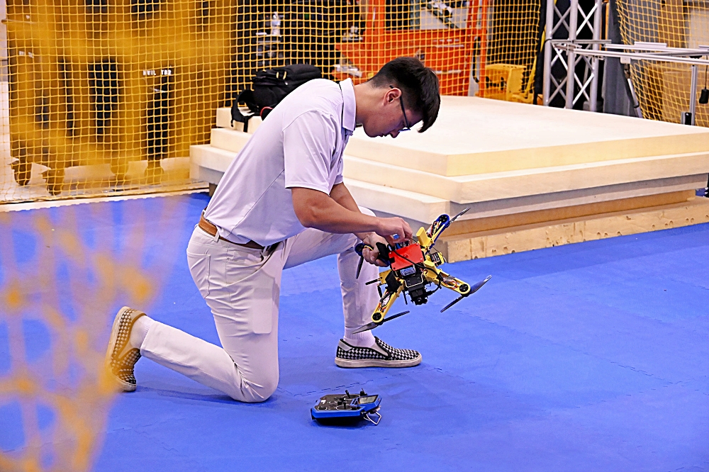
A Navy engineer prepares a small unmanned system for indoor testing at the Naval Air Warfare Center Aircraft Division (NAWCAD). The aircraft is equipped with commercial cameras and motion sensors running NAWCAD-developed algorithms that visually identify ship structures and predict deck motion in real time, enabling fully autonomous recoveries in GPS-denied environments without shipboard equipment modifications. (U.S. Navy photo by Chuck Regner)
Traditional unmanned aircraft landings rely on multimillion-dollar radar systems, flight deck recovery gear and ship modifications that can take months to install. NAWCAD’s approach replaces that hardware by pairing an unmanned system’s mission sensors such as cameras with advanced guidance, navigation and control software developed by the warfare center’s maritime autonomous lab.
In flight, the aircraft uses its camera to recognize a ship’s shape and visual cues to guide its flight path like a human pilot, while its guidance and control algorithms predict the ship’s deck movements in real time, so the aircraft can touch down smoothly. The software works with nearly any UAS computer hardware and can support unmanned systems of all sizes, from small tactical quadcopters to large, combat-class aircraft.
With initial flight demonstrations complete, the software is ready for operational testing on fleet platforms. NAWCAD plans to adapt the technology to larger unmanned systems, including tactical resupply drones, and is working with program offices to transition the capability into acquisition pipelines.
NAWCAD employs military, civilian and contractor personnel to operate test ranges, laboratories, and aircraft in support of test, evaluation, research, development and sustainment for all Navy and Marine Corps aviation platforms. Based in Patuxent River, Maryland, NAWCAD also has major sites in St. Inigoes, Maryland, Lakehurst, New Jersey, and Orlando, Florida.
Source: DOW