
Terra Drone Europe, a group company of Japan-based Terra Drone Corporation, has secured a framework agreement to provide unmanned aerial vehicle (UAV) services to Ordnance Survey, the national mapping agency of the United Kingdom.
Under the scope of this contract, Terra Drone Europe will provide different types of UAV services to Ordnance Survey. The deliverables will include orthomosaics, digital terrain models (DTM) and digital surface models.
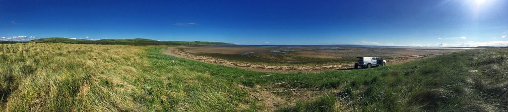
Deliverable Example: Panoramic photo shot by drone
Terra Drone Europe has already received over 500 survey locations to survey and will use a range of fixed wing and multirotor UAVs to carry out the surveys. To support the data collection over the entire UK Terra Drone Europe has chosen RUAS as its support to ensure full UK coverage and consistent deployment of teams throughout the UK.
Patrick Rickerby, Technical Director, Terra Drone Europe, said,
“This framework shows how Ordnance Survey is using new and innovative techniques to create the most accurate maps of the United Kingdom. We are glad they have chosen us based on our quality and track record in this field.”
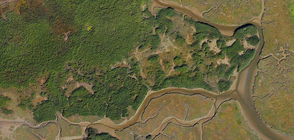
Deliverable Example: Orthomosaics generated from mapping data captured by drone
Ordnance Survey is extending its vast data gathering capabilities with the addition of dedicated UAV services. This framework agreement will increase Ordnance Survey’s ability to offer accurate and timely data to businesses and enterprises even more.
With more than 25 group companies already in its network, Terra Drone is always on a lookout to collaborate with cutting-edge drone technology companies.
Source: Press Release