
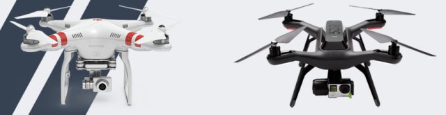
AirMap, a provider of airspace information and services for drones, announced at Drone World Expo that it has partnered with drone industry leaders DJI and 3DR to bring accurate, real-time airspace information to millions of drone fliers around the world. Starting next month, DJI and 3DR customers will be able to fly with confidence, knowing that the areas where they choose to fly are safe.
With these two partnerships, AirMap will provide airspace information to millions of aircraft and millions of operators – more end users than any other provider of airspace information in the world — either for manned or unmanned aircraft. AirMap’s airspace data meets the same standards set for the information used by airline and general aviation pilots. AirMap’s data includes airports, controlled airspace, restricted airspace, temporary flight restrictions (TFRs), and “advisory” information for places like hospitals, schools, prisons, power plants, and other locations that may be sensitive but are not necessarily related to flight safety.
AirMap’s services are delivered through an API that allows manufacturers to query airspace data by sending the position of a drone. In a fraction of a second, AirMap sends back the airspace information relevant to that area, together with simplified answers like “Yes, it’s safe to fly” or “You can fly, but you should know about a nearby heliport.” To support the many innovators working on drone applications, AirMap also offers a Software Development Kit (SDK). This SDK makes it easy for anyone building a drone-related app to bring airspace information to end-users.
“It’s been a pleasure working with the teams at DJI and 3DR over the last several months to bring these capabilities to life,” said AirMap CEO Ben Marcus. “We’re excited about these first steps we’re taking together, and we’re looking forward to bringing enhanced capabilities to even more users in the near future.” Marcus is an aviation technologist, former flight test engineer, and FAA-certified airline transport pilot.
Helping operators understand where it is safe to fly is a foundational step in building the future low altitude traffic management system. Drones are already being used for incredible applications like aerial photography and cinematography, industrial inspection, and precision agriculture. Companies like Amazon and Google are working to bring package delivery services to life. All of these innovative applications will require technology to help them interoperate.
AirMap cofounder Greg McNeal believes that the applications that will most benefit people in their everyday lives have likely not yet been imagined. He remarks “the possibilities are endless. But one thing is for sure – all of these users will need to know what’s happening in the airspace around them and eventually they will need the ability to communicate their activities to others in the airspace.” McNeal serves as President of the Small UAV Coalition, is a member of the FAA’s UAS registration task force, is on the board of advisers of the Humanitarian UAV Network, and is a voting member on the ASTM unmanned aircraft systems committee.
Source: Press Release