
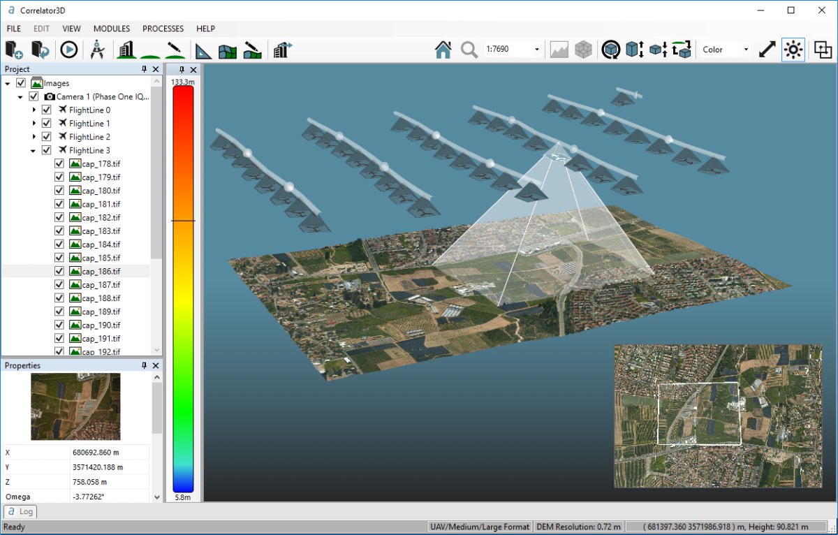
SimActive Inc.has announced that Universiti Teknologi, Malaysia (UTM) has chosen Correlator3D for its unmanned aerial vehicle (UAV) research.
Category Archives: Software
SimActive V 6.5 Brings Picture-in-Picture 3D Viewing
SimActive Inc., a developer of photogrammetry software, has announced Correlator3D version 6.5 with a new picture-in-picture (PiP) feature. The PiP brings a 3D rendered view of projects through an inset window, visible at all times to streamline processing and editing. Continue reading
Airobotics Selects SimActive Photogrammetry Software
SimActive Inc., a developer of photogrammetry software, has announced that Airobotics has chosen Correlator3D for its drone platforms. The software will be used to derive mapping products for the needs of industries such as energy, mining and oil & gas. Continue reading
senseFly & Air Navigation Pro Join Forces to Reduce the Risk of Mid-Air Collision
Professional drone maker, senseFly, has teamed up with the popular aviation navigation app, Air Navigation Pro, to launch Safer Together. This joint initiative has been designed to address one of the biggest issues facing the General Aviation (GA) and unmanned aircraft communities: the risk of mid-air collision. Continue reading
Drone Training Simulator for Education
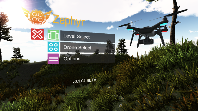 August 1st marks the beta release of Zephyr, a drone training simulator that is uniquely designed for drone training and education developed by Little Arms Studios. The intent of Zephyr is to be the drone operator training tool educators want, combining accurate flight models and physics with a built in Learning Management System that tracks the pilot’s progress.
Live Maps for Unmanned Air Systems in UK
Big-Data Risk Analysis for Drone Flights
Engineering problems can sometimes appear simple beside the amorphous challenges of regulating and managing cutting edge technology use within existing societal structures. But early-stage startup Flock is viewing the knotted intersection of technology and regulation as just another business opportunity. Continue reading
On-Demand Drone Insurance – There’s an App for That !
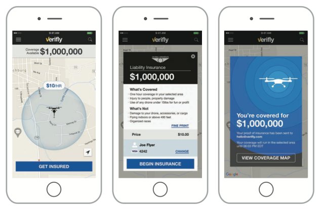 Verifly, the first on-demand drone insurance company, has launched a new app in a market that is ripe for innovation and competition.