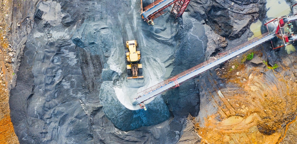
SimActive Inc., a developer of photogrammetry software, announces an enhanced workflow in Correlator3D to accelerate stockpile measurement. The new capability allows to automatically assess multiple volumes within the same project and output comprehensive reports. Continue reading