
Kespry has announced that it has enhanced the Kespry Drone 2 with higher performance features that deliver significantly greater accuracy and reliability. Continue reading

UAS VISION
an independent online news service for the Unmanned Aircraft Systems world
Kespry has announced that it has enhanced the Kespry Drone 2 with higher performance features that deliver significantly greater accuracy and reliability. Continue reading

UAS Colorado has announced the completion of an innovative mapping project using unmanned aircraft systems (UAS) within the Great Sand Dunes National Park and Preserve in south central Colorado. This project was a collaborative effort facilitated by UAS Colorado that also included Black Swift Technologies (BST), the National Park Service (NPS), and Wohnrade Civil Engineers, Inc. (WCE).
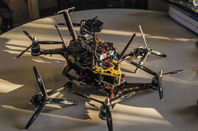
Aeronautical engineer Dan Bosch was sitting around with his buddies Tom Brigham and Neil Puri talking about ways to improve unmanned aerial vehicles. The fixed wing kind are fast (over 100 mph) and economical, but can’t carry much of a payload and are bad at hovering. The rotor type, with four or six rotating blades, have great lift and hover well but are slow, topping out at around 40 mph. Continue reading
The Manta Ray from Challenger Aerospace Group is a Hybrid powered Tri-copter/glider/ UAV/Drone: The Manta Ray, like its namesake, can move swiftly from vertical takeoff , hover to smooth transition into forward flight, the Manta Rays unique design allows its wing morphing into a powered glider type UAV/drone giving the aircraft greater flexibility and distances. Continue reading
 The Los Angeles County Sheriff’s Department (LASD) is taking full advantage of leading technology to gain a two-fold benefit: Obtain a more informative vantage point, and increase safety for sworn personnel and civilians during certain tactical response operations.
 Cyberhawk Innovations has completed its first internal and external structural inspection for the UK rail network.
Ecamsecure, a security and remote management technology solutions company, has announced the addition of drones to an already extensive menu of integrated video surveillance and monitoring options. Continue reading
 The Mumbai Metropolitan Region Development Authority (MMRDA) is planning to use unmanned aerial systems (UAS) for the construction of the upcoming Metro rail corridors in the city. Aerial surveys for construction of the DN Nagar-Bandra-Mankhurd (Metro 2B) route, and the Wadala-Ghatkopar-Thane-Kasarvadavli (Metro 4) route will be conducted using drones.