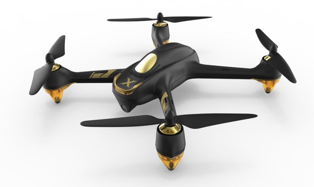
Hubsan has launched a high-quality, affordable drone option — the H501A+. Hubsan’s innovative H501A+ model is the company’s newest signature product. Continue reading

UAS VISION
an independent online news service for the Unmanned Aircraft Systems world
Hubsan has launched a high-quality, affordable drone option — the H501A+. Hubsan’s innovative H501A+ model is the company’s newest signature product. Continue reading

Environmental Defense Fund (EDF) and Stanford University’s Natural Gas Initiative have invited 11 organizations, covering 12 different technologies, to the controlled testing phase of the Mobile Monitoring Challenge (MMC), a competition to advance mobile methane monitoring technologies at oil and natural gas facilities Continue reading
Ecologists Andrew Berdahl, a Santa Fe Institute fellow, Colin Torney of the University of Glasgow, and colleagues flew drones to capture footage of Dolphin and Union caribou, a Canadian herd, as the animals crossed from Victoria Island to the Canadian mainland in the last stage of their fall migration. Continue reading
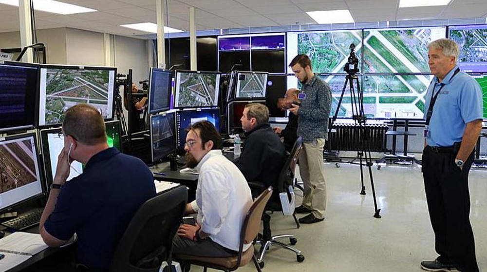
Thales, a global leader in air traffic management, has signed an agreement with NASA that will lead to more growth at the UAS Test Site at Griffiss International Airport in Rome. Continue reading
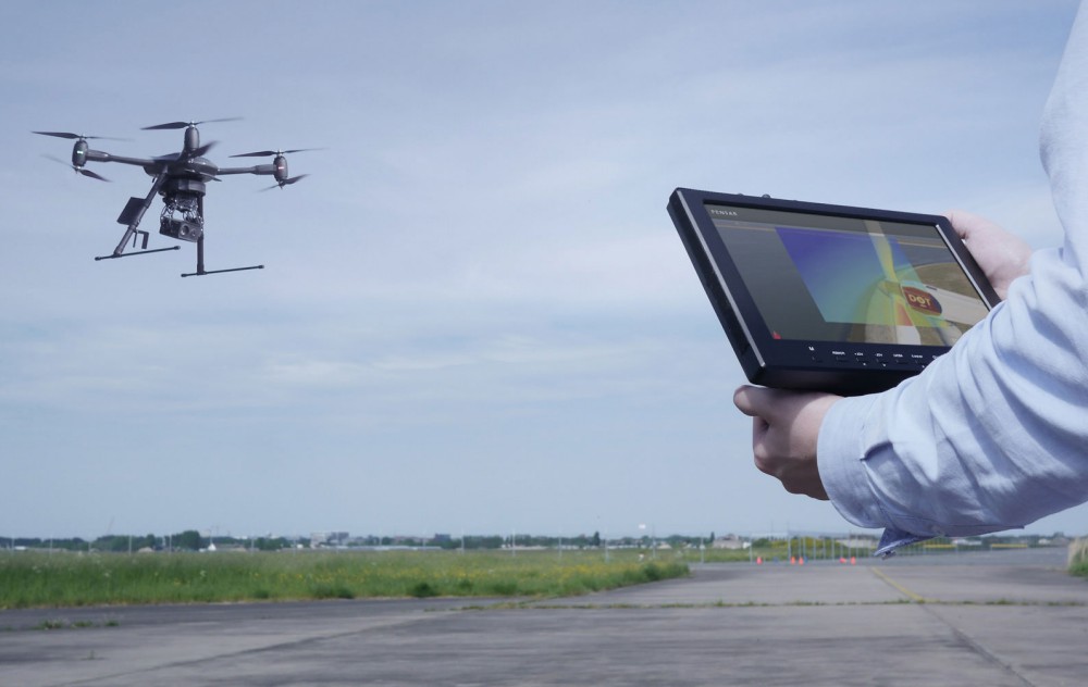
Phase One Industrial, a global provider of medium format metric cameras and imaging solutions for aerial applications, announced that it has signed an agreement with Aerialtronics DV, a developer of end-to-end aerial data capture solutions. Together, these companies’ high-end products are opening up new opportunities in high-accuracy mapping and inspection markets. Continue reading
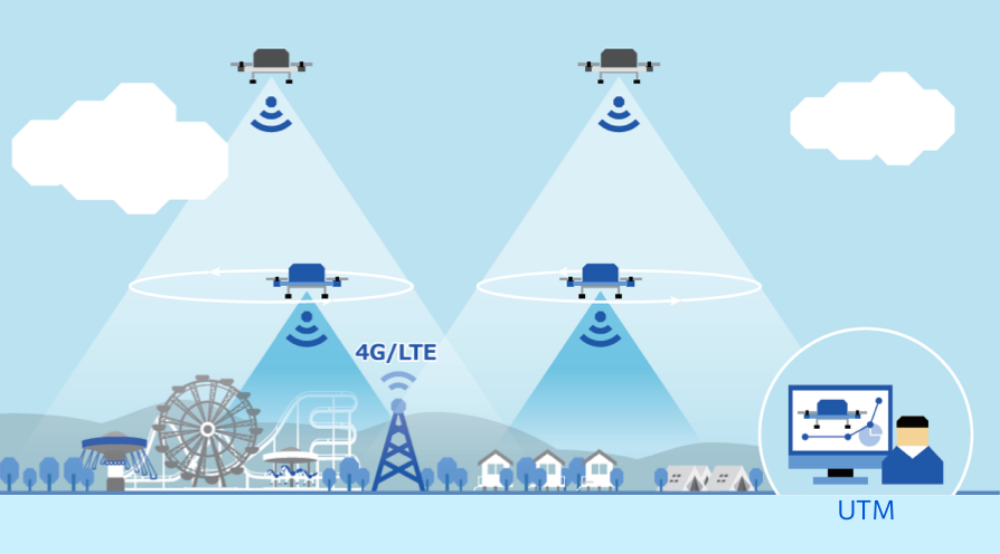
NEDO (The New Energy and Industrial Technology Development Organization), KDDI(a Japanese telecommunications operator), Terra Drone (a Japanese industrial drone service provider), SECOM(a Japanese security company) succeeded in the world’s first security verification experiments of multiple drones using 4G LTE mobile communication network at a wide-area facility. Continue reading
Using machine learning, planning and multi-agent technologies, Accelerated Dynamics is building a full-stack robot intelligence solution that is optimised for enterprise applications. It transforms drones, autonomous cars, satellite systems, unmanned boats into IoT devices that do not require human operators. Continue reading
A team led by Southwest Research Institute (SwRI) is developing unmanned aerial system (UAS) technology to fly into the containment vessels of the damaged units at Japan’s Fukushima Daiichi nuclear power station and assess conditions. Tokyo Electric Power Company Holdings, Incorporated (TEPCO Holdings) contracted SwRI to explore the use of UAS, or drones, within the containment. Continue reading