
Work will begin next month on Australia’s first residential apartment block to include a vertical take-off and landing space to accommodate flying taxis and delivery drones. Continue reading

UAS VISION
an independent online news service for the Unmanned Aircraft Systems world
Work will begin next month on Australia’s first residential apartment block to include a vertical take-off and landing space to accommodate flying taxis and delivery drones. Continue reading
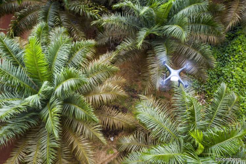
As haze blanketed large tracts of Southeast Asia last month, office workers with Genting Plantations Bhd in Jakarta were investigating the source of the choking smoke more than a thousand kilometers away. Images collected from drones flying up to 400 meters (about 1,300 feet) above Genting’s oil palms help the company spot fires in remote and inaccessible areas. Continue reading
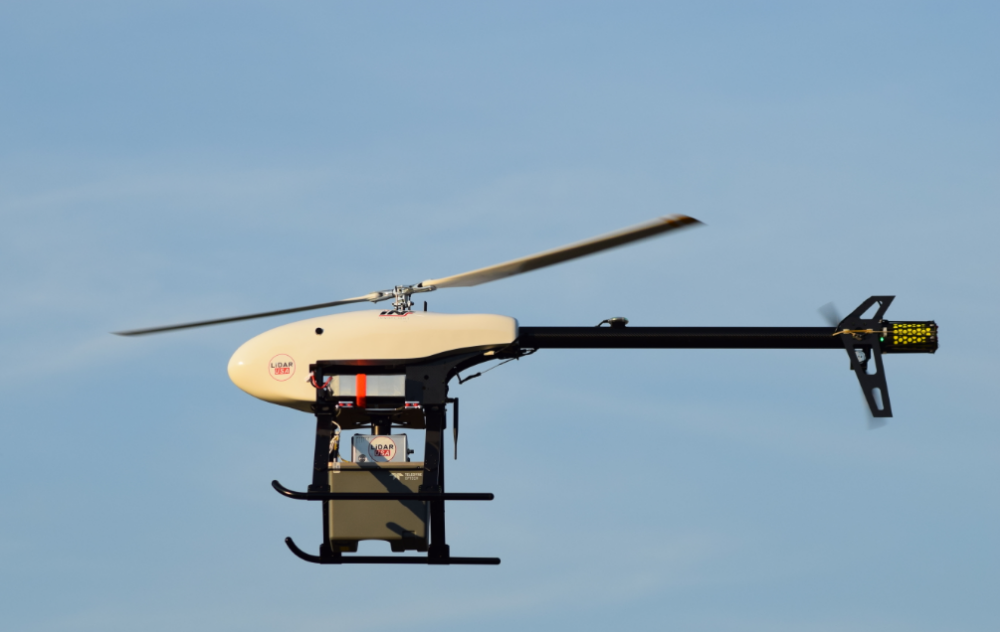
Based in Somerville, Alabama, LiDARUSA has announced a partnership with Innoflight Technology, a manufacturer specializing in UAV systems for surveying, mapping, and inspection. As a result of the partnership, LiDARUSA is offering the Galaxy 950 platform to carry any of its sensors while consistently providing flight times over 30 minutes. Continue reading
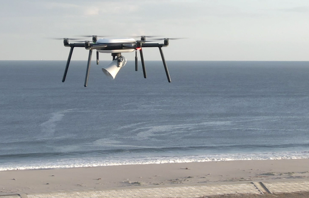
Sendai City and Nokia successfully conducted a test flight of a Nokia drone on a private LTE network provided by Nokia Digital Automation Cloud. They tested the potential use of drones during a tsunami or other disasters to help in prevention and mitigation efforts. Continue reading
ADASI has signed a contract with SwissDrones, a high-tech company based in Switzerland, that specialises in the development and production of UAVs for superior endurance in critical unmanned aerial applications. Continue reading
Governor Andrew M. Cuomo announced the completion of the state supported 50-mile unmanned traffic management drone corridor, which runs from Central New York to the Mohawk Valley. The first-in-the-nation corridor is the most advanced drone testing corridor in the nation. Continue reading
senseFly has announced new strategic partnerships. The organisations include Trimble and Microsoft and demonstrate the capability and suitability of senseFly’s fixed-wing drones and drone sensors for precision agriculture. Continue reading
In an effort to provide UAS support for marine mammal disentanglement response efforts in Sweden, Oceans Unmanned Inc. (OU), the Scottish Entanglement Alliance (SEA) and DARTdrones have expanded their freeFLY initiative into the country. Continue reading