
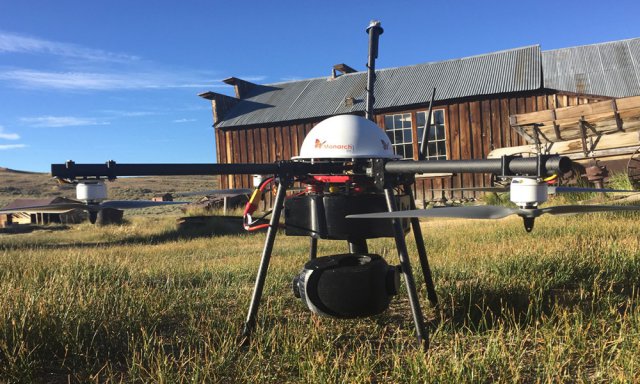
 Monarch, Inc completed the first stage of a project this week to aerially survey and 3D map the 19th-century ghost mining town of Bodie, California. Part of the California State Parks system, Bodie is an original California Gold Rush town. In its heyday during the 1880s, Bodie was a vibrant and volatile gem of the Wild West, and is now kept in a state of ‘arrested decay’.
Category Archives: Geology
RIEGL Debuts BathyCopter at Intergeo
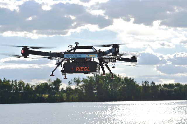
On the first day of INTERGEO, RIEGL showcased its latest development in UAS-based laser scanning: the RIEGL BathyCopter. Continue reading
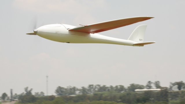
Trimble Launches ZX5 Multi-Rotor
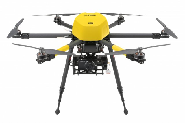
Trimble has announced the ZX5 Multirotor Unmanned Aircraft System (UAS), a new aerial imaging and workflow solution that captures and processes geo-referenced photo and video data for mapping, agriculture and inspection applications. Continue reading
Drones Survey Mount Hakone Amid Volcanic Alert
The prefectural government of Kanagawa has used drones to survey a no-go zone in the Owakudani hot spring district on Mount Hakone, where a level 2 volcanic alert has been in place. Continue reading
UAS to Map Compromised Texas Dam
 Over the long holiday weekend, officials in Montgomery County Texas were concerned the Lewis Creek dam could break, sending floodwaters from Lewis Creek Reservoir into homes and putting lives in danger.
UAS Map Ice Floe in Antarctic
Scientists have successfully piloted drones over Antarctic ice floe from aboard a ship in a world-first operation they say has the potential to change the face of Antarctic science. Continue reading
Colorado Survey Company Teams with UAS Operator
 Civil engineering and surveying company Merrick & Company’s Geospatial Solutions (GSS) team has entered into a business partnership with Juniper Unmanned, a full-service provider of unmanned aircraft system (UAS) solutions. The purpose of this new business relationship is to provide professional services and products to organizations that value growth opportunities in the rapidly emerging UAS worldwide marketplace.
UAV to Scan the Amazon Rainforest for Hidden Civilizations
 A new international project led by the University of Exeter will investigate the Amazon’s sustainable future by studying the way that ancient societies used and transformed the environment. The study is pioneering a remote sensing data device that will be attached to an Unmanned Aerial Vehicle (UAV) to scan beneath the canopy of the forest.