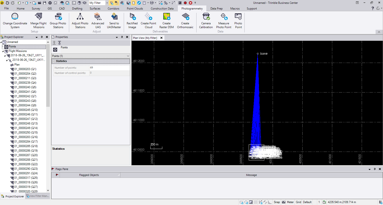
Delair has announced interoperability of high-precision data acquired from the Delair UX11 drone with version 5.0 of the Trimble Business Center software. The integration enables geospatial professionals to simply drag and drop Delair UX11 PPK data directly into Trimble Business Center projects. Users can combine the high-quality flight data with other sensor data to rapidly create vivid orthomosaics and highly accurate surface models. Continue reading
Category Archives: Construction
Bridge Inspections in the Age of Drones
Drones make bridge inspections safer and easier to document. A complementary 3-D bridge app developed by the Michigan Tech Research Institute also streamlines defect records. Continue reading
Komatsu to Distribute Skycatch Solution Globally
Komatsu and Skycatch jointly announced the global availability of the Explore1 high precision RTK drone, Edge1 GNSS base station, on-premise data processing and aerial analytics unit, now available through the Komatsu global distribution channels. Continue reading
Komatsu Partners with Propeller Aero on Drone Analytics Solutions
With drones becoming an increasingly common worksite tool, Komatsu has identified aerial mapping and analytics as a key component of their Smart Construction initiative—a range of integrated hardware and software products designed to offer an end-to-end workflow for each phase of construction. Continue reading
Komatsu and Propeller Aero Partner for Aerial 3D Mapping of Construction Projects
With drones becoming an increasingly common worksite tool, Komatsu has identified aerial mapping and analytics as a key component of their Smart Construction initiative—a range of integrated hardware and software products designed to offer an end-to-end workflow for each phase of construction. Continue reading
Industry-First Drone Inspection for Nuclear Sector
Texo Drone Survey and Inspection (Texo DSI), the owner operators of a comprehensive and dynamic fleet of unmanned aerial vehicles has announced that it has carried out an internal UAV inspection of a live nuclear asset – a first for the global nuclear sector. Continue reading
Airobotics to Survey $1B Haifa Port Project
Airobotics, the Israeli startup, has announced its partnership with Shapir-Ashtrom to survey the construction of Haifa’s new seaport, “Gulf Port”, intended to further develop Israel’s coastline areas, and increase maritime traffic and international commerce. Continue reading
Construction Productivity Software Integrates Drone Imagery
Uplift Data Partners, a data capture pilot platform for enterprise businesses, announced that it has integrated with PlanGrid, a supplier of construction productivity software. Uplift’s 2D and 3D aerial drone imagery is now accessible directly into PlanGrid, giving construction teams a real-time view of job sites and dramatically improving their ability to detect costly errors and reduce rework. Continue reading


