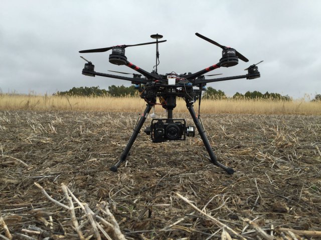
The National Institute of Food and Agriculture has awarded $975,000 to Kansas State University for work that incorporates unmanned aerial vehicles in the process of breeding better wheat varieties. Continue reading

UAS VISION
an independent online news service for the Unmanned Aircraft Systems world
The National Institute of Food and Agriculture has awarded $975,000 to Kansas State University for work that incorporates unmanned aerial vehicles in the process of breeding better wheat varieties. Continue reading
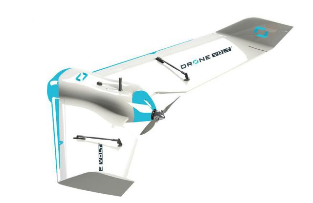
DRONE VOLT, a French drone manufacturer that provides professional solutions in a variety of services and pilot training, has launched a new fixed-wing unit, a light and compact UAV dedicated to precision agriculture and construction work, “DV WING”. Continue reading
AeroVironment, Inc. has announced that it has begun a year-long study with California State University, Fresno to research how unmanned aerial vehicle (UAV) imagery and analytics could potentially detect varying levels of water stress in almond trees and give producers smarter insights to make more effective in-season decisions regarding water management. Continue reading
Agricultural efficiency is poised to take a big leap with drone technology now that the U.S. Federal Aviation Administration is streamlining regulations for unmanned aerial vehicles. A recent report from PwC pegs the addressable market for agricultural drones to be worth a whopping $32.4 billion, second only to infrastructure. Continue reading
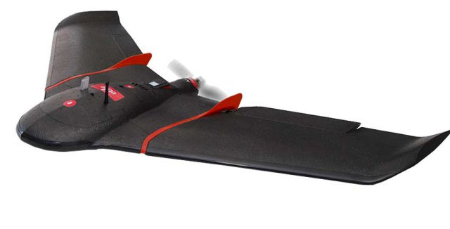 Swiss professional drone manufacturer, senseFly, has expanded its portfolio with the launch of the new eBee SQ fixed-wing agricultural drone. This cutting-edge unmanned aircraft system (UAS) is built for the Parrot Sequoia multispectral camera and can cover up to 10 times more ground than small quadcopter drones.
 UAV enabled agricultural intelligence company Agrobotix has announced a new level of integration with John Deere’s Operations Center in Australia. The integration allows a user to push the Agribotix Digital Scouting Report directly into their Operations Center account.
Lehmann Aviation announced launch of a totally new L-A Series line of professional mapping drones for operators around the world. Continue reading
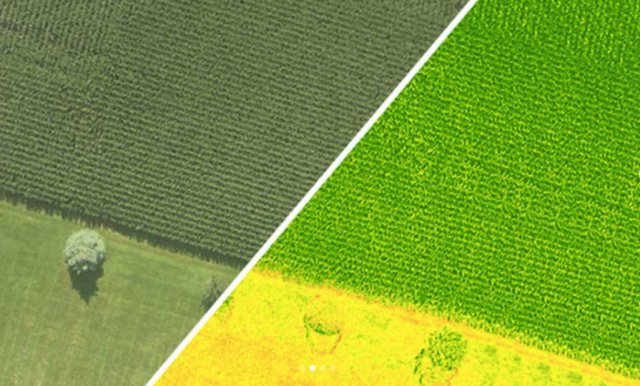 Sentera, LLC sensors have officially captured over 25,000,000 acres of images. The company’s AgVault 2.0 Software translates this imagery into actionable data for the precision agriculture industry.