
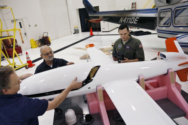
 If there’s ever a radiological catastrophe in the U.S. like the 2011 Fukushima disaster in Japan, the stewards of the former national nuclear weapons proving ground in Nevada expect to be ready to deploy remote-controlled drones to check for contamination. Continue reading
Category Archives: News
BVLOS UAS Energy Industry Flight Tests in Virginia
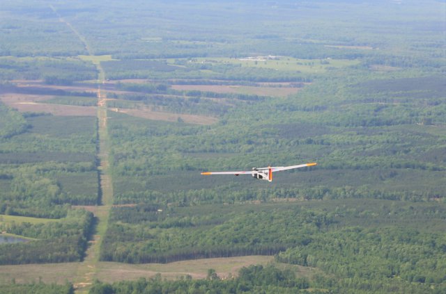 American Aerospace Technologies, Inc. (AATI) announced that it has successfully completed flight tests for the energy industry utilizing Unmanned Aircraft System (UAS) from the Farmville Regional Airport in Farmville, VA. The campaign just completed was the first in Virginia where flights originated at an operating airport, and the first with an end-to-end system that delivered critical data to end users in near real-time. Flights with AATI’s RS-20 UAS were conducted May 10-13.
US Terrorism Combat Office Evaluating Tethered UAS
AeroVironment, Inc. announced at the Special Operations Forces Industry Conference that the United States Combatting Terrorism Technical Support Office (CTTSO) is evaluating the company’s new tethered unmanned aircraft system, named Tether Eye™, for intelligence, surveillance, reconnaissance (ISR) and security applications. The CTTSO funded the development program under a US government contract. Continue reading
Civil Aviation Authority of Fiji Issues Warning

Remotely piloted aircraft systems, more commonly known as drones, need to be registered with the Civil Aviation Authority of Fiji before being flown. Continue reading
US Government Issues Privacy Best Practices for UAS
 The National Telecommunications & Information Administration released Thursday a list of voluntary privacy best practices for commercial and non-commercial drone users, in the wake of concerns that drones could encroach on individual privacy and open a new front in the collection of personal data for commercial use.
Russian Helicopters Show New UAS at HeliRussia-2016
 The Russian Helicopters manufacturer unveiled its three new unmanned aerial vehicles, including an upgraded tiltrotor, a multirotor and a helicopter at the HeliRussia-2016 international helicopter industry exhibition.
Hermes 450 Inaugural Flight in North Dakota Ag Project
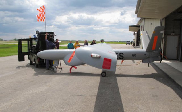 The Elbit Systems Hermes 450 aircraft took off from the Hillsboro airport on May 20th. to start a summer-long project that will take pictures of farmland in the fertile Red River Valley. The test is meant to show whether the larger drone is more efficient to capture imagery of agricultural land than satellites or smaller unmanned aircraft.
Advanced Image Processing Software for UAS
Icaros Inc., a provider of aerial remote sensing services and software, has announced that Harris Geospatial Solutions, a division of Harris Corporation, will offer the Icaros OneButton family of image processing software as a front-end complement to its ENVI geospatial analytics solution for users extracting information from manned and unmanned aerial sensor data. Continue reading