
All it takes is a patch of fog to ruin Thomas Swoyer’s day. Swoyer runs the first and only fully operational hub for researching, testing and developing commercial drones in the United States, from those used for military reconnaissance to ones that may drop packages at your front door someday.
“If I’m going to deliver a package 20 miles down the road, I have to know what I’m flying into, and weather is my number-one risk,” Swoyer said.
Now Grand Sky is looking into how to better predict weather conditions for its drone flights. The solution? Use another drone.
Pending government approval, the “Meteodrone” will launch this fall and be the first drone to record weather data used operationally in the United States. The data collected would then be fed into computer models to improve forecasts for drone flight operations.
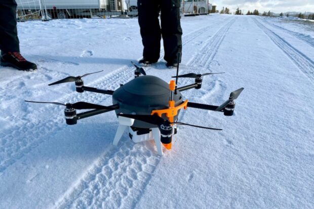
The Meteodrone isn’t your average drone. It’s packed with small weather instruments, which can measure temperature, dew point, relative humidity, wind speed and pressure. An onboard camera can take valuable images as storm systems develop and progress.
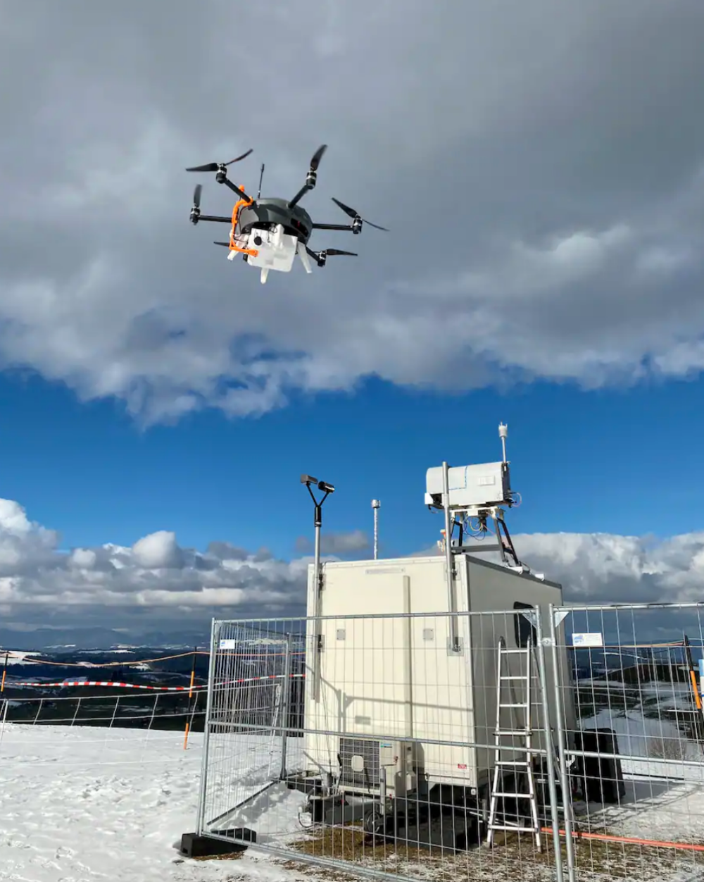
It’s also designed to withstand a range of intense weather, armed with safety features like heated propellers to ward off icing, and an emergency parachute. A pilot can remotely launch the drone into the atmosphere and send it up to to 20,000 feet, sampling the atmosphere both on its way up and down in a straight line.
“The benefit of the Meteodrone here is being able to get those constant and frequent profiles, particularly when you have interesting or important weather events going on,”
said Brad Guay, a meteorologist at Meteomatics, the company that creates the technology.
All of the collected data will feed into a high-resolution computer model for the area around Grand Forks Air Force Base.
Right now, “the data isn’t granular enough. We just don’t have enough data. Our models are not sufficient,” said Don Berchoff, co-founder and CEO of TruWeather Solutions, which will provide decision-support once the high-resolution modeling is completed.
The data will also reveal previously poorly understood weather patterns between the ground and flight level, critical for drone flights across the country.
The Meteodrone will be new to the United States, but it’s already used regularly in Switzerland. Fifteen Meteodrone stations are situated around the European country, collecting data from the atmosphere around the Alps.
“We have done more than 20,000 vertical profiles, thousands of flight hours,”
said Martin Fengler, founder of the weather forecast service Meteomatics. In conjunction with the Federal Office of Meteorology and Climatology, Meteomatics has been working on data collection and high-resolution modeling in Switzerland.
Source: The Washington Post