
World Vision Kenya aims to improve the climate resilience of nine villages in Tana River County, sustainably manage the ecosystem and climate change, and restore the communities’ livelihoods by reseeding the hotspot areas with indigenous trees, covering at least 250 acres for every village.
This can be challenging to achieve, considering the vast areas needing coverage. That’s why World Vision Kenya partnered with Kenya Flying Labs to help make this process faster, easier, and more efficient (and more fun!).
 Kenya’s Tana River County has been experiencing land degradation due to unsustainable farming practices, wood fuel harvesting, deforestation, and worst of all, the occurrence of an invasive tree species called Mathenge. This has increased the impact of climate change on local livelihoods and food security of the pastoralists and agro-pastoralists, who make up 82 percent of the population and depend on rain-fed agriculture and pasture.
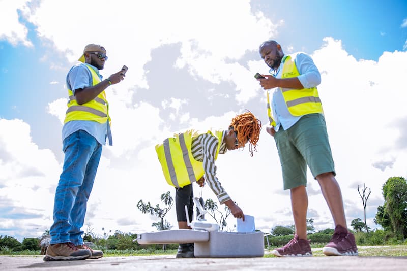
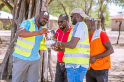
Kenya Flying Labs traveled down to Tana River County to perform a mapping exercise on these nine villages using DJI P4 drones to collect the ground data. The resulting high-resolution imagery generated nine detailed ortho maps of the area, totaling 2,250 acres of land. The ortho maps were further analyzed to ascertain the site’s vegetative indices, leaf coverage, and vegetation chlorophyll content/sensitivity using the VARI and TGI indices. These maps are vital to the decision-making process for the various stakeholders in preparation for action planning.
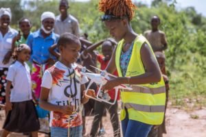 The next phase in this project is the aerial seeding phase. Kenya Flying Labs will implement ReleaseLabs – Releasing Good Stuff technology to identify the exact spatial location and drop biochar seed balls to the hotspot areas. This expedites the reseeding process and replaces the tedious work and effort that would have been done manually by the farmers hence reducing the labor cost. Also, this would be pretty refreshing for the community to watch and might spark the minds of the young and old to love this drone technology, considering most perceive drones as a military weapon that could harm them.
The final phase will involve mapping the same areas again to compare and validate the process done.
Source: Kenya Flying Labs Blog