
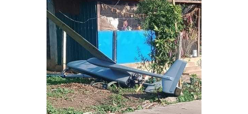
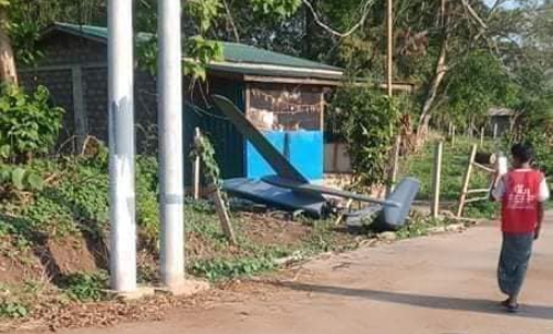
One of our astute readers in Myanmar forwarded these photos of a mystery drone that crash-landed in rural Myanmar and is probably operated by the Myanmar Airforce.
The accident occurred not so far from Pyin Oo Lwin, Central Myanmar on 5th May. Our source understands that this is a Chinese designed UAV but assembled locally.
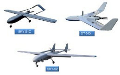
It appears to be a Sky-02 manufactured by the Zhongke Jiudu (Beijing) Spatial Information Technology Co., Ltd. in Beijing. In its sales literature it describes the drone as a
“Medium-sized oil-powered UAV, suitable for 1:1000—1:5000 geodetic surveying and mapping, DOM digital orthophoto, building texture collection, geographic three-dimensional aerial photograph collection, and original data collection of digital city management systems at all levels. It is mainly used in military reconnaissance, positioning and shooting equipment, battlefield surveillance, reconnaissance target positioning, battlefield damage assessment, border patrol, and emergency response.”
Specs:
- Wingspan: 4.7m
- Maximum level flight speed: 170km/h
- Wing area: 1.9m2
- Cruising speed: 110km/h
- Captain: 2.6m
- Flight altitude ceiling: ≤4000m
- Machine height: 0.9m
- Flight time: 4h
- Power: 15hp petrol engine rear push Maximum fuel: 17L
- Empty weight: 40kg
- Maximum take-off weight: 80kg
- Maximum task load: 20kg
- Measurement and control radius: ≤150km
The company was established in October 2010. The company relies on the spatial information acquisition, processing and application technology accumulated by the Institute of Electronics of the Chinese Academy of Sciences for many years, and conforms to 3S (remote sensing, geographic information, spatial positioning)