
Kongsberg Geospatial and Flirtey announced that the Kongsberg Geospatial IRIS airspace situational awareness application has been implemented by Flirtey within their autonomous software platform that conducts BVLOS autonomous flight operations.
Flirtey has conducted more than 6,000 flights to date.
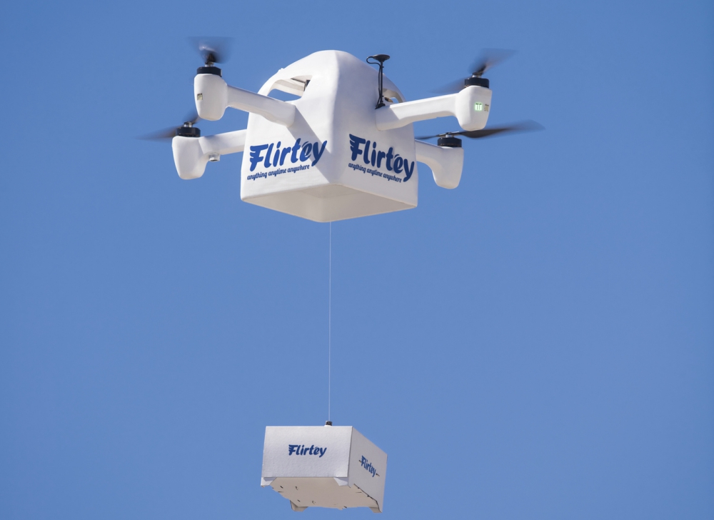
Flirtey recently announced that it had completed the technology to certify and expand U.S. production of its best-in-class autonomous drone delivery system for last-mile delivery. Flirtey’s technology solves the last-mile delivery problem with faster, lower cost, and more convenient delivery, which takes vehicles off the roads, reduces CO2 emissions and increases the overall safety of the transport system.
The Kongsberg Geospatial IRIS airspace visualization technology enables multiple drones and sensor feeds to be monitored simultaneously by a single remote operator and provides real-time calculation of aircraft separation and communications to enable BVLOS operations. Built on Kongsberg Geospatial’s industry leading TerraLens SDK, IRIS provides advanced real-time 2D and 3D visualization of all airborne track and weather data, as well as cues, alerts and warnings to enable a single operator to monitor the complex airspace environment.
“Flirtey is now taking pre-orders for its autonomous drone delivery systems, which enable businesses to operate their own logistics by providing store-to-door drone delivery to their customers to unlock lower delivery costs and billions in potential new revenue. The Kongsberg IRIS technology is a key part of Flirtey’s best-in-class technology for last-mile drone delivery, and Kongsberg Geospatial’s experience powering Air Traffic Control Systems worldwide, as well as U.S. and Australian Navy combat systems give Flirtey and our customers great confidence,”
said Flirtey Founder and CEO Matthew Sweeny. Flirtey is focused on completing the FAA’s certification process, in addition to scaling its operations in New Zealand (where the company’s technology already has regulatory certification) and expanding US production of delivery drones to meet growing demand.
“We’re very pleased to be working with an industry leader in UAS last-mile delivery like Flirtey” said Ranald McGillis, President of Kongsberg Geospatial. “We’ve worked closely with them to implement our technology and their FAA certification will be a testament to their world leading capabilities.”
Source: Press Release