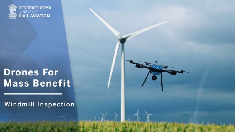
Nearly 70% of India’s airspace has been greenlit for compliant drones to fly in, as of August 15, said Amber Dubey, Joint Secretary at the Civil Aviation Ministry, and head of the drones division. Drones compliant with the “no permission, no takeoff” (NPNT) protocol will be able to fly in airspaces demarcated as green (free airspace) and yellow zones (controlled airspace).
The Ministry had, by July, cleared all green zones in the country. The development is expected to give an impetus to local drone manufacturing.
As of 15 Aug 2020, all Yellow Zones for NPNT-compliant drones in India have been activated on the single-window DigitalSky Platform. Green Zones across the country were enabled earlier in July 2020. With this nearly 70% of India’s land mass is open for NPNT-compliant drones.
The balance 30% area comes under the restricted Red Zone (urban areas, strategic assets, border areas, airport funnel zone etc) where drones can fly but with special permission from security agencies.
Great work by teams from DGCA, AAI, IAF, MHA, MoD, security agencies, MoCA and the system integrator HMTL from Bengaluru.
Interestingly in May 2020, a request was made to senior authorities to postpone the 15 Aug 2020 deadline by two months, in view of the covid-related disruptions. It was politely but firmly denied. Glad to see the various ministries, agencies, industry and academia coming together to make this happen.
The next release is slated for 02 Oct 2020 when more features will be activated on the single-window DigitalSky Platform.
Dubey wrote in a LinkedIn post.
With this, NPNT compliant drones will be able to seek automatic clearance from the Digital Sky portal to fly over allowed airspaces, as the platform gears up for its phase one launch on October 2, nearly two years after being first imagined. Once live, the platform will integrate with other government entities, allow management of airspace workflows, plan drone flights, and log post-flight data submission among other things. IT services company, Happiest Minds has been tasked with developing the Digital Sky platform.
At the moment, it is unknown how many yellow and green zones are there in the Indian airspace, and where these airspaces are located. For red zones, which make up for the remaining 30% of the airspace and are considered restricted airspaces due to their sensitivity, drones can fly but with special permission from security agencies, Dubey said.
As per data maintained by the Digital Sky platform, a total of 31 drones have been granted a Unique Identification Number (UIN), which is akin to a license plate for NPNT compliant drones. In contrast, over 20,000 drones have been granted a Drone Acknowledgement Number, which is given to legacy drones that are not compliant with the NPNT protocol. It remains to be seen whether legacy drones, a majority of which are made by China’s DJI, will still be allowed to fly once the Digital Sky platform is fully functional.
Sources: LinkedIn; MediaNama

