
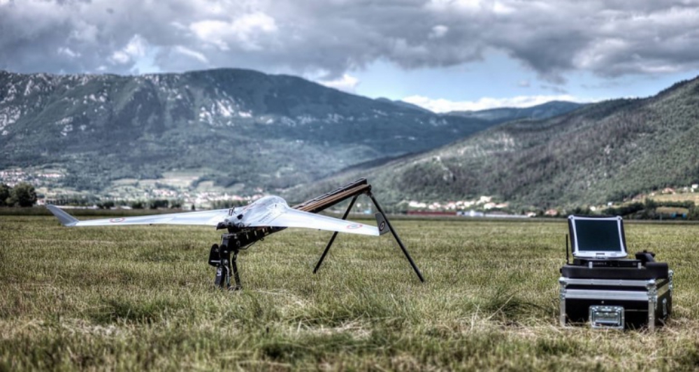
Agility, speed, safety, and cost — the benefits of UAVs are endless. In the arena of land surveying, companies are increasingly turning to UAVs. UAV technology has made tremendous strides in the last decade, with the advantages of UAVs only growing.
Let’s take a look at how UAVs compare to other, traditional methods of surveying.
Advantages Over Traditional Land Surveys
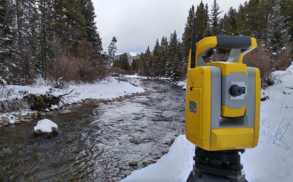
Traditional land surveys still have their place. For small, easy surveys, a traditional land survey may be suitable. But a land survey can’t cover as much ground as quickly as an aerial one can; it’s limited by the ability of the ground surveyors to move across the terrain.
Land surveys, currently, are most frequently used in areas that cannot be surveyed through aerial means, such as areas where it might be dangerous to fly in. Canyons, interiors, and urban environments are all included in this. But there is still always a potential risk to any human surveyor, especially in more treacherous terrain such as canyons and large environmental features.
Drones are able to counter many of the issues associated with traditional land surveying, while still providing the benefits. Like land surveying, drones can be used in a number of otherwise inaccessible areas. Drones fly closer to the ground and are more manoeuvrable than other forms of aerial survey.
But unlike land surveying, drones are able to cover large swathes of land very quickly. Drone surveying will be faster and more effective than a traditional land survey.
Advantages Over Other Aerial Surveys
Before drones became ubiquitous, planes and helicopters were frequently used for aerial surveys. They had (and, indeed, still have), some major benefits over land surveys: They can often be more accurate, they are faster, and they can cover extremely large territory. Traditional aerial surveys ultimately use the same technology as drone surveys – the same cameras are mounted on the various aerial platforms – but it’s the method of capture that differs.
But traditional aerial surveying has downsides, too. Even though air flights are safer than they’ve ever been, there’s always some risk, no matter how small, because a crash could injure the manned crew. Manned aerial surveys can also be expensive, because they involve trained crews, both for flying the plane and for capturing data.
Drone surveys resolve many of these issues. Drones are lightweight, fast, and easy to get into the air; they don’t require the extensive permitting process that a helicopter or plane flight might. Like planes or helicopters, they can carry cameras for LiDAR or photogrammetric imaging, and capture it at even higher resolutions.
They are cheaper than manned flights, and they can fly closer to the ground, getting more accurate scans. And, of course, they are safer. There’s no risk to an on-board crew, and drones can get to places a helicopter or plane would find inaccessible – for instance, projects like the Shreveport viaduct laser scan would be much harder to execute with a helicopter, and much more time-consuming to do purely on foot!
The Downsides to Drone Surveying
With all that in mind, is there a reason why drone surveying hasn’t entirely cornered the market? Drone technology is still improving. Drones don’t have the full range of airplanes, and so aren’t as well suited for extremely large surveys (dozens to hundreds of miles). Furthermore, they are still vulnerable to high wind conditions due to the fact that they are so light. Until recently, battery power was a major limitation, but improvements in battery range have made UAVs more feasible.
In reality, drone surveying is still capturing the market because the market is still adapting to it. While there are many companies providing drone surveying, experienced surveying companies are still updating their technology. The most advanced surveying companies offer multiple types of survey, dependent on the type of survey needed.
Regardless, it’s clear that the industry as a whole is shifting towards UAVs, because they have some incredible benefits and very limited downsides. As the technology continues to grow, UAVs will continue to outperform other surveying technology.
I thought it was interesting when you explained that drones can help produce land surveys that are faster to perform and are more accurate. If I were to guess, being able to record video and take pictures would allow surveyors to later make changes to their work if they wanted to. It’s cool to think that technology is such a benefit in the construction and production industries.