
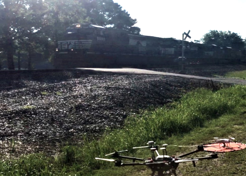
The Federal Railroad Administration (FRA) has issued a report on its Office of Research, Development and Technology’s study of the use of unmanned aerial vehicles (drones) to produce accurate 3-D models of high-profile grade crossings.
Conducted by the U.S. Department of Transportation John A. Volpe National Transportation Systems Center, the study found that photogrammetry with ground control points can produce models with similar accuracy to those produce using LiDAR at a much lower cost, FRA officials said in the report.
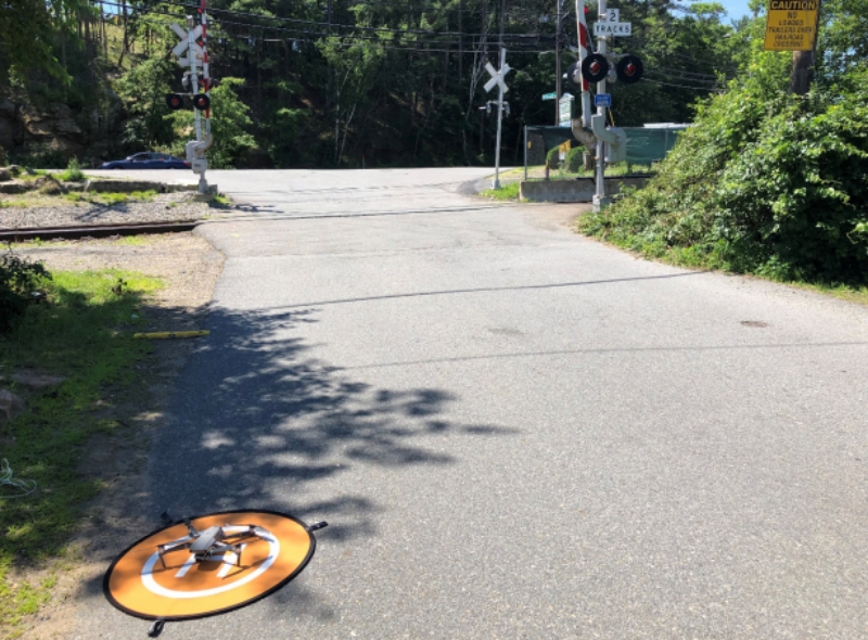
DJI Mavic 2 Pro at humped crossing in Gloucester, MA (Crossing ID 053927W)
The Volpe center determined the process needed to achieve a simple measurement of ground clearance for these crossings. Volpe also made recommendations to FRA for pursuing the capability, as well as to work with the Federal Highway Administration to provide better information to drivers of low-clearance vehicles.
The report can be viewed here.
Source: Progressive Railroading